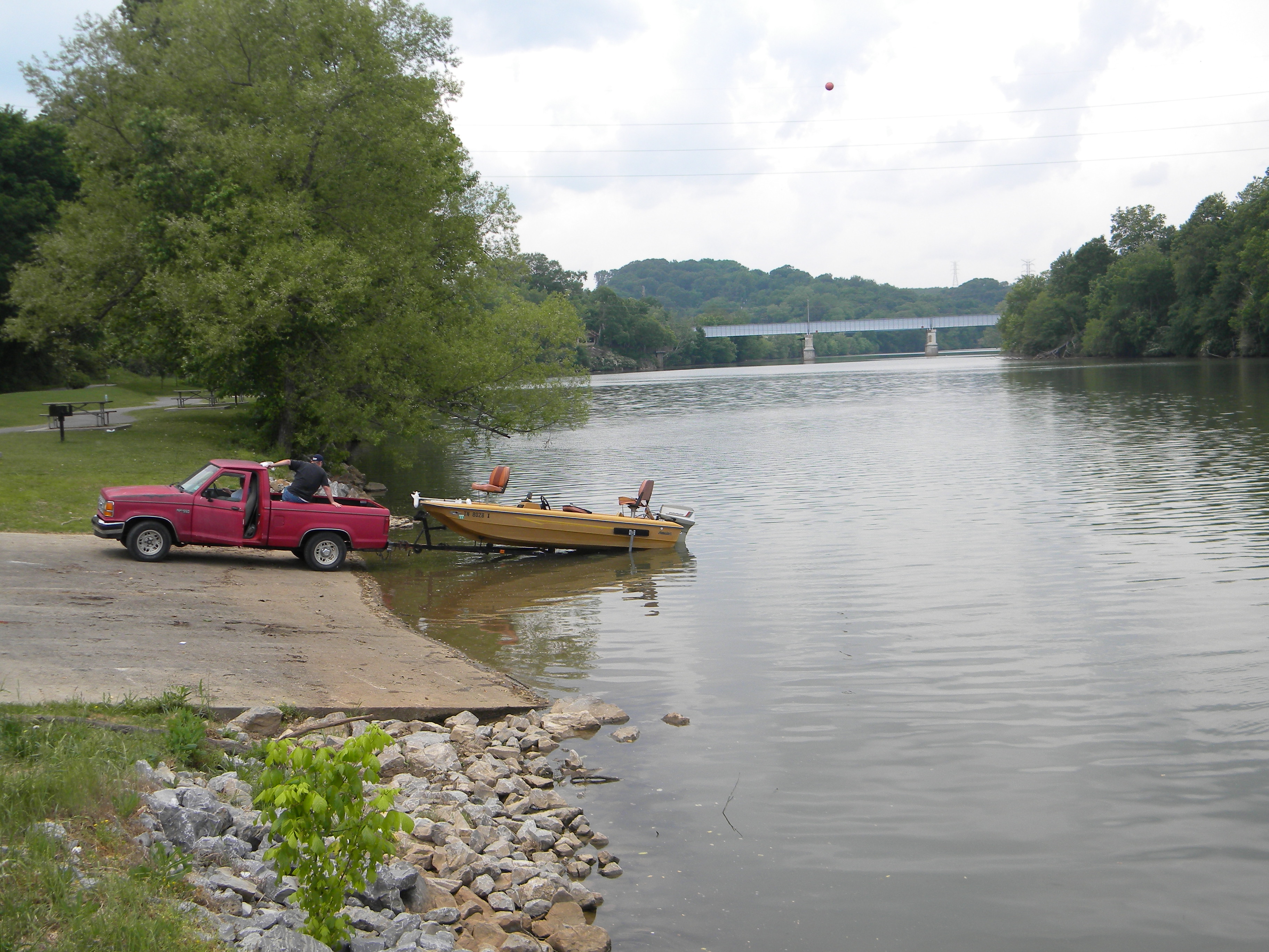
History greenway planned for Charleston, Tenn.
Friday, May 13, 2011
 The Charleston City Park will be part of a plan unveiled Friday for a Hiwassee area historical interpretation project. A visitors center would be located in an empty bank building. The pedestrian trail would follow an original section of U.S. 11, listed on the National Register of Historic Places, through town, linking with the Fort Cass area, the U.S. government's command post for the Trail of Tears, the Cypress swamp, a unique environmental feature for Tennessee and the river where Civil War actions took place.
CHARLESTON, Tenn. - A plan to renovate an empty bank building and turn it into a visitors' center connected by a walking trail to other historic areas was introduced to the community today.
State, Bradley County and Charleston public officials, historians and planners were told how the visitor's center would connect along a pedestrian pathway following the Concrete Highway, an original section of U.S. 11 now on the National Register of Historic Places; the Fort Cass area, which was the U.S. government's command post for the Trail of Tears; the Cypress Swamp, a unique environmental feature; and then the Hiwassee River, where a riverpark will commemorate Civil War events.
"The past can be part of your future," said Dr. Carroll Van West, director of the Center for Historic Preservation at Middle Tennessee State University, to a filled auditorium at Charleston First Baptist Church.
The plan was developed by Emily Crow of the consulting firm McBride Dale Clarion.
For complete details, see tomorrow's Chattanooga Times Free Press.
