Experts predict warmer, wetter winter in 2012

Friday, January 1, 1904
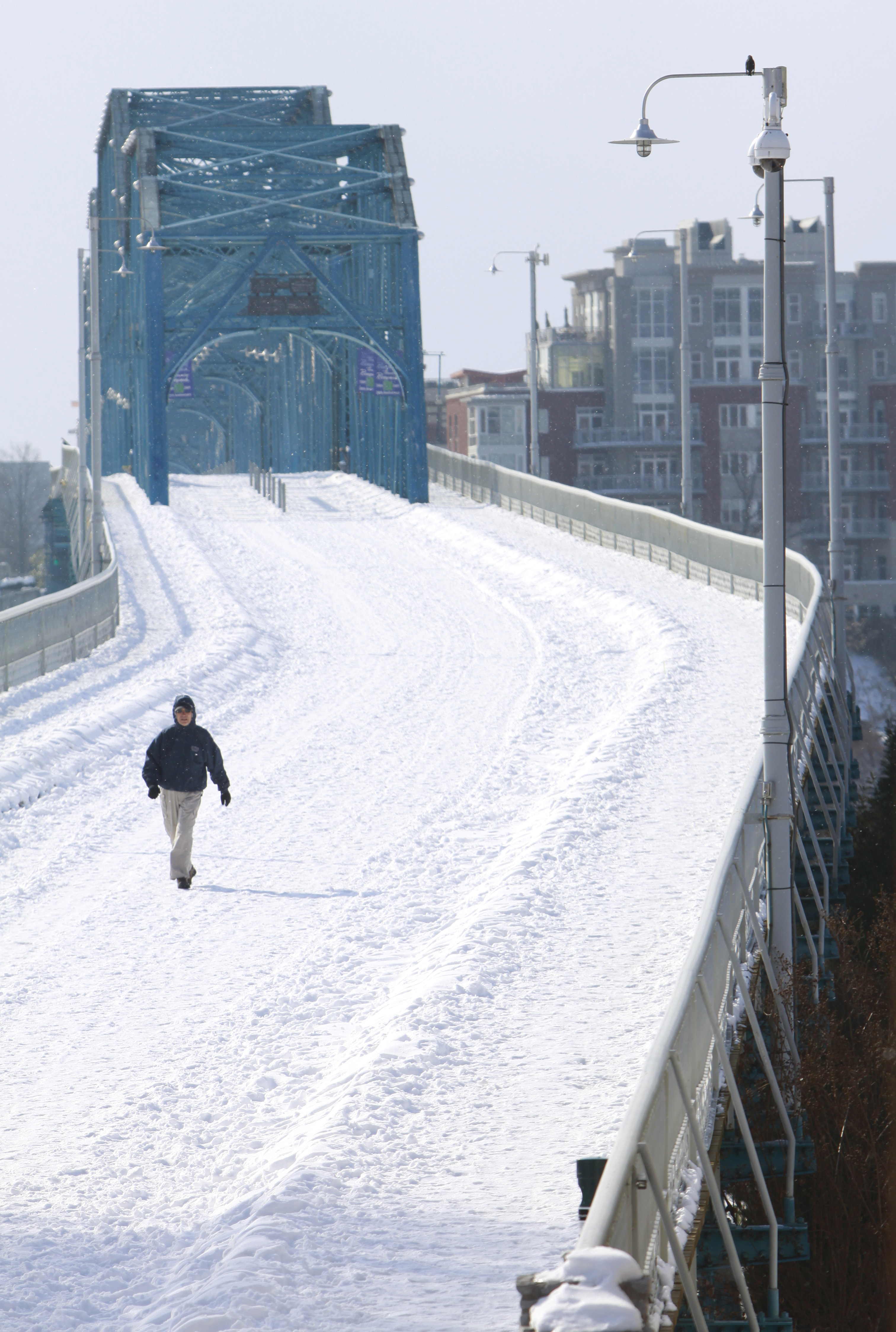 Mike Hayes has the Walnut Street Bridge to himself while walking through the snow that fell early in January 2011.
Cold-weather haters may have something to cheer about for the remainder of the winter.
Odds are that January through March will be warmer and wetter than normal, said Glenn Carrin, hydrologist for the National Weather Service in Morristown, Tenn.
The last two winters were colder than normal in the Chattanooga area, Carrin said, so "it's nice to get a break."
Carrin said the higher probability of warmer weather is due in part to the fact that this is a La Nina winter, meaning that there are cooler-than-normal water temperatures in the eastern part of the Pacific Ocean near the equator. In La Nina years, the jet stream -- which carries weather systems from west to east across the U.S. -- may stay farther north, so there are fewer arctic outbreaks in Tennessee.
Paul Barys, chief meteorologist for WRCB-TV Channel 3, said the beginning of January will probably be a little cooler than normal but temperatures will rise at the end of the month. Based on weather patterns, February will probably be a little warmer than normal, he said.
The normal average high temperature for the area is 48.8 degrees in January, 54.1 degrees in February and 62.8 degrees in March, according to the National Weather Service.
Last year's winter was colder in part because December 2010's average high was 8 degrees below normal. January 2011's average high was 2.4 degrees below normal, while February 2011 was 4.9 degrees above normal and March 2011 was 0.6 degrees above normal.
Still, meteorologists said a warmer winter is not a certainty.
Last winter also was a La Nina winter, but temperatures were cold in Chattanooga because of a weather pattern that allowed arctic air to move south. That's hard to predict far in advance, Carrin said.
"Climate forecasting is still a young science," he said.
Even if the rest of the winter is warmer than usual, the Chattanooga area could see a snowstorm with accumulations of 3 to 5 inches, Barys said, and Carrin said there could even be more than one good snowstorm.
"It's really hard to correlate [snowfall and temperature]," Carrin said.
The Chattanooga area's biggest snowstorm -- in March 1993 -- occurred in a year when winter temperatures were above normal, Barys said.
The Chattanooga area saw almost 10 inches of snow last January, February and March, according to the National Weather Service. The area receives an average snowfall of 3.9 inches a year.