
 Winter weather tile
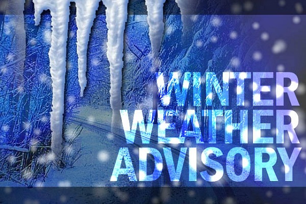
The National Weather Service issued a winter weather warning and a winter weather advisory for parts of North Georgia effective until 10 a.m. today.
The winter weather advisory affects Catoosa, Dade, Walker and Whitfield counties. The winter weather warning is in effect for Fannin, Gilmer and Murray counties.
The main concern is the melting snow from Saturday's flurries. North Georgia received more snow than originally expected, with some higher elevations reporting up to 5 inches. As that snow melted and froze overnight, it created the possibility for black ice on roads and bridges.
Alex Gibbs, National Weather Service meteorologist in Peacthree City, Ga., advises slowing down and keeping alert if you're out on the roads.
"In a situation like that, if it looks like water, it's probably ice," Gibbs said. "Start braking before you get to an intersection and maintain more distance between the cars in front of you."
Flurries could linger through the morning, but highs are expected to reach the 40s under partly cloudy skies.
Temperatures in higher elevations are expected to hover in the upper 30s, leaving the possibility of patchy ice in those areas through tonight.