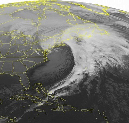
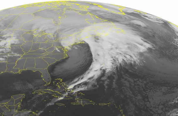
 This NOAA satellite image taken Friday, Feb. 14, 2014 at 01:45 AM EST shows a strong low pressure affecting the Northeast with rain and snow. A clipper type low is producing light snow across the Great Lakes. A stationary front is producing snow across the Dakotas, Nebraska, and Iowa. Sleet and freezing rain is found over northern Missouri and rain showers over eastern Kansas.
An updated afternoon forecast from the National Weather Service predicts up to 3 inches of snow in the Knoxville area, up to 4 inches north of Knoxville and up to 6 inches in the mountains.
In a 2:51 p.m. update, the Weather Service issued a Winter Storm Warning and several Winter Weather Advisories.
A Winter Storm Warning is in effect in the mountains from Norton, Va., to Cades Cove from 10 p.m. until 1 p.m. Saturday.