Is Chattanooga feeling a final blast of winter in spring? (with videos)

Wednesday, March 26, 2014
 Wearing a aux fur head covering, Vivian Carden, a landscape professional for Chattanooga Public Works Department, ducks the occasional snow flurries on the job Tuesday at Coolidge Park.
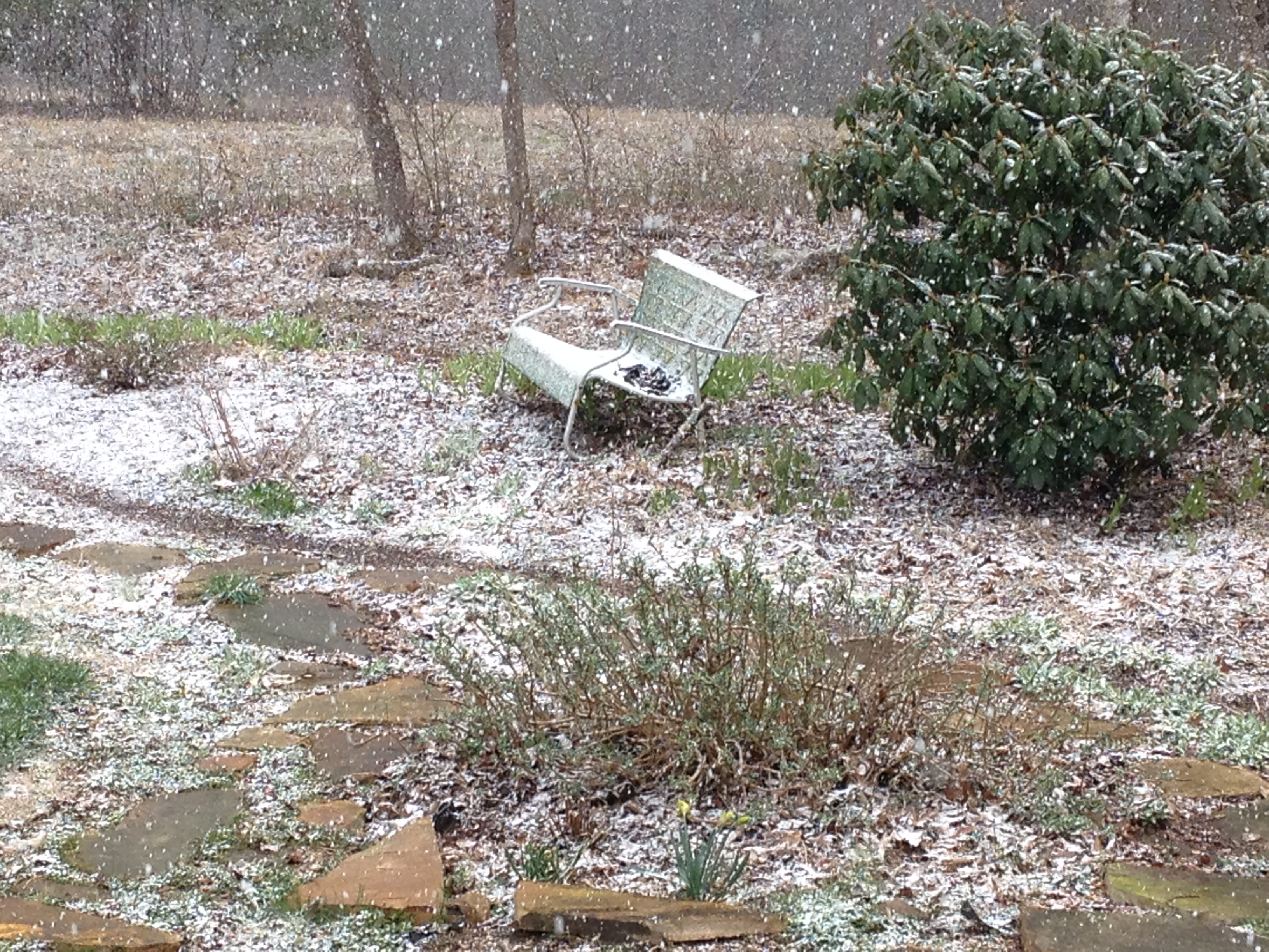 Snow starting to stick on Signal Mountain
Spring is here, but without a calendar you probably wouldn't know it.
The National Weather Service predicted temperatures to drop into the mid-20s overnight Tuesday after flurries swept through the area in the afternoon.
Experts say it's just a temporary relapse into the colder-than-average conditions the region endured this winter.
By the weekend, highs are predicted to return to the mid-60s with lows remaining well above freezing. The latest cold wave is not a product of the polar vortex like many of the cold snaps were in January and February.
"It's just a shot of air that came in with a cold front," WRCB-TV meteorologist Paul Barys said Tuesday. "It's not a surprise."
Barys added that frost could hit the area but that once temperatures rise to the mid-60s Friday, no intense cold is in the seven-day forecast, although rain is probable over the weekend.
"Springtime is volatile, especially in March," he said. "It's a windy month in general."
The chilly conditions are not all bad for Chattanoogans, though. Peter Hagemeyer said he's noticed an increase in business at the Camp House Espresso coffee shop downtown where he works as a barista.
"On the snow days, especially, we stayed open and people would walk and come in," Hagemeyer said, "and over the last few days, too, we've been a little busier than normal."
Consistent warmth is on the way, though.
"We're getting out of the winter pattern," Barys said, "slowly."
Contact staff writer David Cobb at dcobb@timesfreepress.com or 423-757-6731.