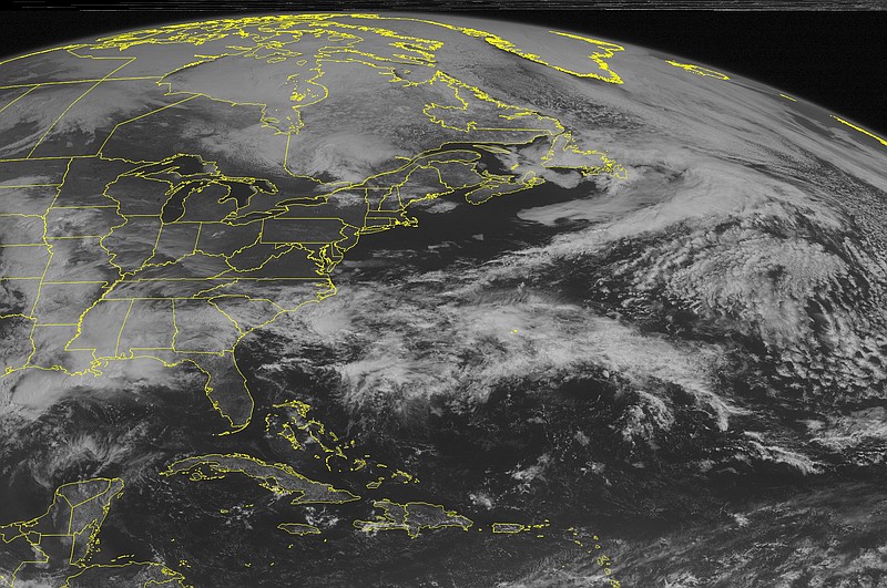
HOUSTON -- Storms featuring high winds, hail and at least one report of a tornado swept through an area stretching from southern Texas to parts of Oklahoma, Kansas and central Nebraska on Saturday, and more were forecast later in the evening.
Heavily populated areas with the highest risk of storms are San Antonio, Oklahoma City and Norman, Oklahoma, according to the National Weather Service.
Reports of hail, some of up to quarter-size, were widespread Saturday afternoon along a line from central Nebraska through the plains of western Oklahoma and to the rolling plains of North Texas and Central Texas plateaus. One unconfirmed report of a tornado was received from the public in an unpopulated area of remote Edwards Plateau country, about 110 miles northwest of San Antonio. No damage or injuries were reported.
The storms developed a day after at least five firefighters were hurt on Friday when their truck overturned on a rain-slick rural road in Central Texas and hit a tree. They were taken to a hospital. Texas Department of Public Safety Trooper Harpin Myers said an ambulance crew responding to the wreck also was involved in a crash. The crews were responding to an initial accident after a vehicle hydroplaned on the wet road and collided with another.
In Houston, some creeks and bayous filled to their banks and drivers in found water reaching nearly to car bumpers.
The weather service reported Saturday that rain gauges at Reliant Park, the complex that includes the NFL Houston Texans football stadium, registered 5.32 inches over the previous 24 hours. Other readings topping 4 inches were common in parts of Houston.
The Harris County Flood Control District recorded 3.6 inches of rain during a 30-minute period in Pasadena, southeast of Houston, and Center Point Energy said as many as 35,000 of its electric customers had been without power.
South of Houston in Brazoria County, police reported hail the size of tennis balls in Angleton, and Needville received 4 inches of rain. The roof was torn from a home on Jamaica Beach in Galveston County. In La Porte, as many as 40 homes took in water.
In South Texas, funnel clouds were reported near Victoria and Beeville and authorities said a tornado briefly touched down in a rural area of Matagorda County about 100 miles southwest of Houston.
Karnes County Sheriff Dwayne Villanueva blamed lightning for an explosion Friday at an oil tank in Karnes City, south of San Antonio, sending flames more than 100 feet into the air.
