Chattanooga record temperatures
* Highest temperature: 107 F (June 30 and July 1, 2012) * Lowest temperature: -10 F (Jan. 21, 1985, Jan. 31, 1966, Feb. 13, 1899) * Most rain in 24 hours: 9.5 inches (Sept. 5-6, 2011) * Most rain in one month: 16.32 inches (March 1980) * Most rain in one year: 73.70 inches (1994) * Most snow in 24 hours: 20 inches (March 12-13, 1993) * Most snow in one season: 23.9 inches (1894-95) * Most snow on Christmas: 5.1 inches (1969) Source: National Weather Service, Morristown, Tenn.
Chattanooga annual averages
* Precipitation: 52.48 inches * Days with 0.01 inches or more of precipitation: 119.6 * Snowfall: 3.9 inches * Days with 1 inch or more of snowfall: 1 * Days with thunderstorms: 54.8 * Days at or above 90: 47.7 * Days with dense fog: 27.3 * Days at or below 32: 58.3 * Average first freeze: Nov. 4 * Average last freeze: April 1 * Average first frost: Oct. 20 * Average last frost: April 14
The old saying around here is, "If you don't like the weather, wait an hour or two and it will change."
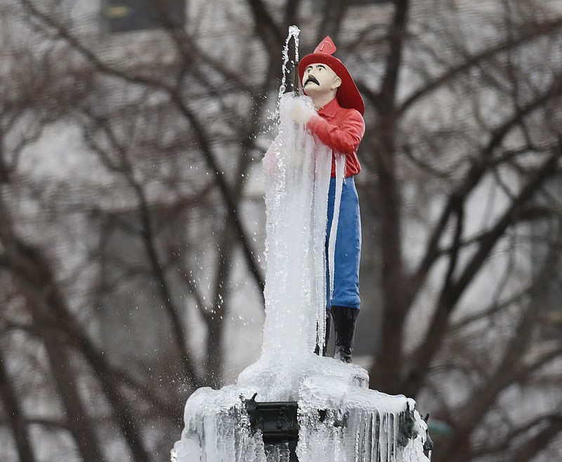
Chattanooga has all four seasons -- sometimes in the space of one week.
"It can change quickly. Anything's possible," said Jerry Hevrdeys, a meteorologist with the National Weather Service's Morristown, Tenn., office that forecasts Chattanooga's weather.
"It's very hard to predict winter weather," Hevrdeys said. "A few degrees change in the air can make a big difference: all rain or all snow or freezing rain."
Doppler radar -- an invaluable tool for weather forecasters, elsewhere -- doesn't have an ideal setup here.
Doppler lets meteorologists see inside storm clouds to tell where precipitation is forming -- rain, snow, sleet and hail -- and whether clouds are rotating in just the right way to form tornadoes.
But Chattanooga's closest National Weather Service Doppler radar tower is 45 miles away as the crow flies, in Hytop, Ala.
And due to the earth's curvature, that radar station can track only the weather 3,000 feet above the Scenic City and higher. It can't see below that elevation.
"The radar's our best piece of equipment," said Meteorologist Sam Roberts, of the National Weather Service's Morristown, Tenn., office. "But with any good piece of technology, there's going to be limitations."
On average, though, Chattanooga's weather has some predictable patterns.
The roughly 52 inches of annual precipitation here is split fairly evenly among the 12 months, ranging between a little more than 3 inches in October, the driest month, and close to 5 inches in January, the wettest.
That 52 inches of precipitation, by the way, is significantly more than the annual precipitation in Seattle -- a city famous for being rainy. Seattle has an annual precipitation of 38 inches while the national annual average is about 39 inches.
Contact staff writer Tim Omarzu at tomarzu@timesfreepress.com or 423-757-6651.