Don't expect to see Mr. Fusion Home Energy Reactor-powered DeLoreans cruising along LaFayette Road in the near future. But the stretch of road between Battlefield Parkway and Chickamauga Battlefield will look like it's gone back in time if plans shown during a recent Refresh Fort Oglethorpe Committee meeting are implemented.
 Georgia Department of Community Affairs designer Carmine Fischetti presents his ideas at a recent Refresh Fort Oglethorpe Committee meeting.
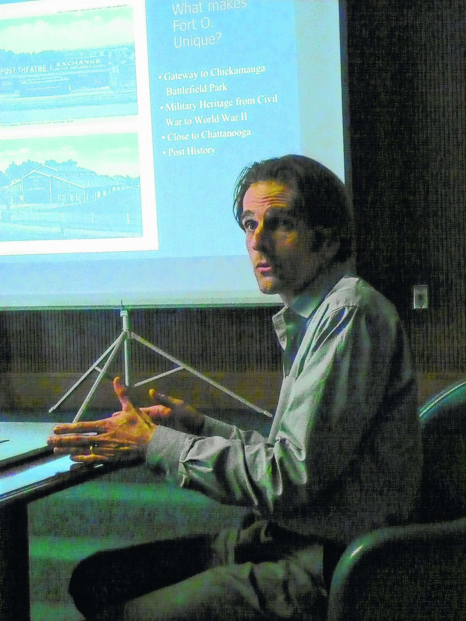
The committee members' task of creating a blueprint to revitalize the city's oldest commercial district led them to solicit help from designers with the state's Department of Community Affairs.
The result is a throwback; rather than a throughway, LaFayette Road/U.S. Highway 27 would again resemble the tree-lined two-lane Main Street of the days when Fort Oglethorpe was truly a fort and not a town.
A key component of the proposal presented by DCA designers Carmine Fischetti and Julien de Rocher would reduce motorized traffic from five to three lanes, add dedicated bicycle lanes and buffers of grass and trees to separate sidewalk, bike path and motorway.
Fischetti said Fort Oglethorpe faces the problem of having businesses that seem totally oblivious to the area's biggest attraction, Chickamauga Battlefield park. What struck the design team when they studied the area was a lack of pedestrian traffic, he said.
Historic old buildings sit like islands in a sea of asphalt; there is no unifying look or theme to the area; there is a lack of signage; and the roughly one-mile stretch of highway has very low curb appeal.
Fischetti said their "big idea is to create dedicated bike lanes," something that could be done by "putting the road on a diet."
There is now more road than is needed for the volume of traffic that regularly uses this short stretch of road. Reducing its current 68-foot width - four traffic lanes and a turn lane - to a 45-foot width would remove two lanes but provide room for 12-foot wide bike lanes, keep 5-foot wide sidewalks and leave room for landscaped buffers.
"Our charge is to make this [area] appear more like a city center," said Cindy Eidson, of the DCA. "All planned downtowns operate with streets of this design, not as highways."
Not only would segregating motorized, human-powered and pedestrian traffic make for a safer city, such an aesthetically pleasing element would allow the roadway to simultaneously serve as "main street" and as a linear park.
Such a linear park would serve as a transitional area for tourists heading toward the battlefield while also extending the park's amenities into the city. To help set the tone, elements common to the park such as split rail fences could be introduced into the commercial district.
Replacing the right angle intersection and traffic light at McFarland Avenue/Reeds Bridge Road and LaFayette Road/U.S. Highway 27 with a roundabout could further soften the interface between city and park.
Designers doubt that all elements of their proposal will be adopted, but their design integrates many of the "wants" expressed by citizens involved in crafting the county's comprehensive 20-year plan.
Whatever is adopted, the goal is to revitalize the city's original core.
The Refresh committee has decided that revitalization efforts should take their cues for the future by embracing the area's past.
"This has been a pet project of mine," Mayor Lynn Long said. "We've got a desolate area that needs improvement. We should take advantage of the 150th anniversary of the battlefield. Let's get it done."