Local areas affected
Knox Jefferson Blount Sevier Sequatchie Bledsoe Rhea Meigs McMinn Monroe Marion Hamilton Bradley Polk
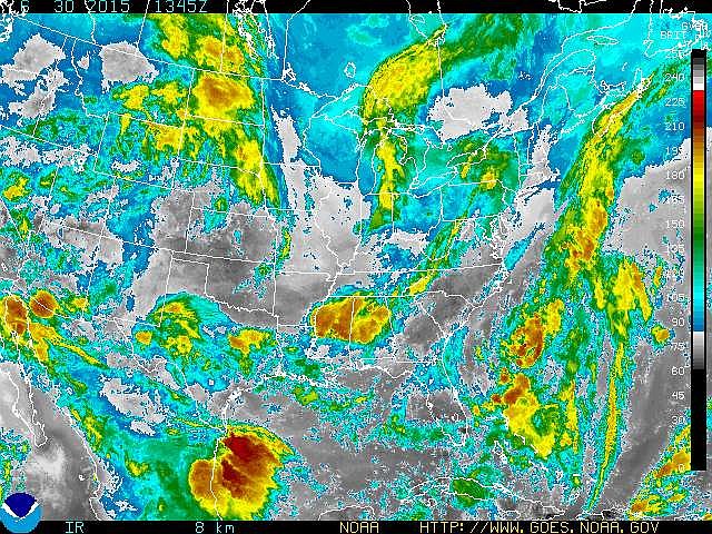
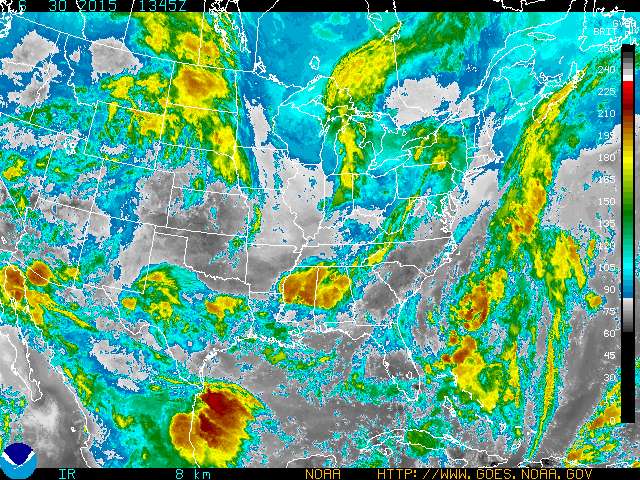
Starting today and continuing through Monday, forecasters from the National Weather Service have warned of severe thunderstorms moving through the Chattanooga region, a prediction that means residents could face a full week of rain, thunder, lightning and even hail in some cases.
Beginning this afternoon, the agency has called for numerous showers as a large low pressure area moves into the eastern U.S. But it won't be moving through, forecasters warn. It's here for an extended visit.
The potential exists for several severe storms, which could bring large hail and damaging wind gusts, according to the National Weather Service. Heavy rain and frequent lightning can be expected.
For the rest of the week, several rounds of what the NWS calls "disturbances" will bring scattered showers and thunderstorms each day, especially during the afternoon and evening hours.
There's a chance of a strong to severe thunderstorms each day until Monday, including strong downbursts, torrential rains and frequent lighting.
Flash flooding is possible, with the greatest risk of flooding expected on Wednesday afternoon through Thursday evening, according to the NWS.
The agency has warned that it may activate its storm spotter network this week.
 AN UPPER TROUGH OF LOW PRESSURE WILL REMAIN ACROSS THE EASTERN
UNITED STATES FOR MUCH OF THE WEEK. SEVERAL ROUNDS OF DISTURBANCES
MOVING AROUND THE TROUGH WILL BRING SCATTERED TO NUMEROUS SHOWERS
AND THUNDERSTORMS EACH DAY.
AN UPPER TROUGH OF LOW PRESSURE WILL REMAIN ACROSS THE EASTERN
UNITED STATES FOR MUCH OF THE WEEK. SEVERAL ROUNDS OF DISTURBANCES
MOVING AROUND THE TROUGH WILL BRING SCATTERED TO NUMEROUS SHOWERS
AND THUNDERSTORMS EACH DAY.