
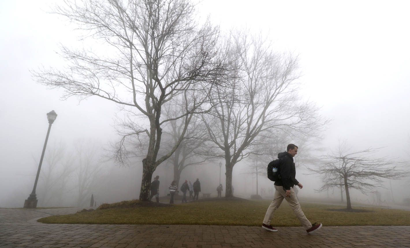
 Covenant College senior classman Ryan Burns makes his way between classes as fog fills the campus and light rain begins to fall Tuesday afternoon, March 3, 2015.
 School delays, closings
Hamilton schools will open with a two hour delay Athens City Schools will be closed Thursday Chickamauga City Schools will be on a 2 hour delay Catoosa County Schools will be on a 2 hour delay Chattanooga Christian School will open with a 2 hour delay The Greater Collegedale School System will be closed Dade County Schools will open with a 2 hour delayMarion County Schools will open with a 2 hour delayMcMinn County Schools closed Meigs County Schools closedNotre Dame will start at 10 a.m. Polk County Schools will open with a 2 hour delay Rhea County Schools closed Sweetwater City Schools will open with a 2 hour delay Signal Mountain Christian School will open with a 1 hour delay Walker County Schools will open with a 2 hour delay Whitfield County Schools will open with a 2 hour delay
Other closings, delays
The TEA Road Tour & Community Conversation scheduled for Thursday, March 5 is cancelled. Rescheduling plans are being made.
We're into March, but we're not out of the woods yet weather-wise.
According to the National Weather Service, a strong cold front will move southeast through the Chattanooga area tonight. Coupled with a strong likelihood of showers, overnight lows in the 20s are likely to bring freezing rain and light snow Thursday night, said National Weather Service meteorologist Tim Troutman.
The outlook
* Today: High - 63, low - 34; 90 percent chance of showers, freezing rain late * Thursday: HIgh - 37, low - 23; 40 percent chance of freezing rain, snow in the morning. Temperatures near freezing throughout the day.
 Thiago Casali walks along Oak Street on the University of Tennessee at Chattanooga campus on Thursday, Feb. 26, 2015, after heavy overnight regional snowfall blanketed the Chattanooga, Tenn., area.
"Some areas Thursday morning could see up to a quarter-inch of icing and up to an inch of accumulated snow," Troutman said. "The rain and snow should be over by noon, but with temperatures struggling through the day to make it to freezing, there could definitely be some slick roads Thursday evening."
A winter storm watch is in effect from midnight until 4 p.m. Thursday.
WRCB-TV Chief Meteorologist Paul Barys said the area is getting off relatively easy.
"Near Nashville there's a winter storm watch, and parts of middle Tennessee could see up to half a foot of snow," Barys said.
He said this area will be spared mostly because of timing -- temperatures here will be warmer than those in other areas ahead of the cold air moving in.
The Chattanooga area has already had its share of winter weather in 2015.
After a cold snap brought freezing temperatures in early January, a week's worth of cold, snow and ice in mid-February led to several deaths, along with vehicular accidents and cancellations statewide and threw Tennessee into a state of emergency. Most recently, a snowstorm Feb. 25 blanketed Chattanooga with more than 6 inches of snow and put the city over its average annual snowfall.
"We're already above normal, which is about 5 inches per year," Barys said. "We've had over 9 inches at this point."
Barys and Troutman agreed that winter is far from over.
Troutman noted that 1993's "Storm of the Century," which dumped a record 20 inches of snow on Chattanooga over a two-day period, began on March 12.
"We won't see anything for a little while after Thursday, but we're not out of winter, not even close," Barys said. "Temperatures will get up into the 60s early next week, and people will think spring's coming, but we're not close."
Contact Will Healey at whealey@timesfreepress.com or 423-757-6731.