Upcoming weather
Today: A 40 percent chance of showers and thunderstorms, mainly after 2 p.m. Partly sunny and hot with a high near 92. Heat index values as high as 97.Saturday Night: A 40-percent chance of showers and thunderstorms. Mostly cloudy with a low around 72. Calm wind.Sunday: A 50-percent chance of showers and thunderstorms. Mostly cloudy with a high near 89. Calm wind.Sunday night: A 40-percent chance of showers and thunderstorms. Mostly cloudy with a low around 72.Monday: A 40-percent chance of showers and thunderstorms. Partly sunny and hot with a high near 90.Monday night: A 30-percent chance of showers and thunderstorms. Mostly cloudy with a low around 73.Tuesday: A 40-percent chance of showers and thunderstorms. Partly sunny and hot with a high near 92.Tuesday night: Mostly cloudy with a low around 74.Wednesday: A 40 percent chance of showers and thunderstorms. Partly sunny and hot with a high near 93.Wednesday night: A 20 percent chance of showers and thunderstorms. Mostly cloudy with a low around 75.Thursday: A 30 percent chance of showers and thunderstorms. Partly sunny and hot with a high near 94.Source: National Weather Service, Morristown, Tenn.
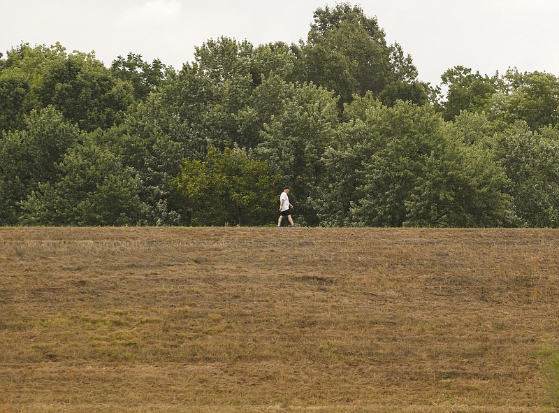
Although the Chattanooga region received some rainfall recently, it's just not enough to stem the spread of drought conditions, with daytime temperatures soaring into the 90s and heat indexes in the triple digits, National Weather Service officials said Friday said.
And there's little relief in sight.
The U.S. Drought Monitor map released on Thursday shows a growing area of extreme drought across the tri-state area and severe drought conditions spreading across the northern halves of Georgia and Alabama.
The red bull's eye of extreme drought on the monitor's map as of Thursday edged just over the Tennessee border into the southern part of Hamilton, Marion, Franklin and Lincoln counties. An increasing number of counties in Southeast and South Central Tennessee also are suffering from severe drought, and most of the rest of Tennessee is experiencing moderate drought.
In North Georgia, all of Dade, Walker and Chattooga counties, half of Floyd and a piece of Gordon are shown in extreme drought. Banks, Franklin, Hart and Elbert counties on the northwestern edge of the state also remain in the extreme drought category, and between June 28 and July 5 a new area of extreme drought swelled up in 10 Atlanta-area counties.
Nearly all of Northeast Alabama's Jackson County and half of DeKalb County are shown with extreme drought as the map shows the driest conditions are now stretching westward to Madison County and into the fringes of Cherokee County in the Yellow Hammer State.
For the the rest of the tri-state area, severe or moderate drought conditions are widespread, according to the monitor.
Meteorologist Chris White at the National Weather Service facility in Huntsville, Ala., says 2016's drought has developed since March in the Chattanooga region, particularly to the south.
While 2015 was relatively wet, and even wetter in December, White said unsustained precipitation allowed the ground to start drying out, and that's what started happening early this year.
Some areas, like Jackson and DeKalb counties in Northeast Alabama, are now eight to 10 inches behind in rainfall for the year, White said.
"One thing about drought is that if you don't get the normal amount of precipitation, you're digging a hole," he said. "You have to get more than normal precipitation to get back out of that hole."
White said the jet stream doesn't influence weather in the South as much in summer, but a polar jet stream that is dipping southward and is "a little stronger than normal" is driving severe storms in the northern U.S. this season.
While some of those storm systems spin off toward the Southeast "they get away from the mechanisms that keep them going," White said.
The National Weather Service office in Peachtree City, Ga., issued a heat advisory on Friday warning of heat indexes from 105 to 108 degrees. High temps cause more evaporation from the soil and plants. That hurts farmers and heightens fire risk, officials said.
Soil moisture is declining and lake and stream levels are dropping across northern Georgia and the Atlanta region, officials said. Georgia forecasters say there are equal chances of above normal and below normal rain for the rest of the month but that "drought conditions will persist over North and Central Georgia unless significant rain is received."
Hot, dry conditions are even affecting trout stocking in Southeast Tennessee, according to a Tennessee Wildlife Resources Agency statement. Trout require cold water temperatures to survive, and when the water gets above 70 degrees, the fish become stressed and, at 74 degrees, eventually die, officials said.
Because of the heat, TWRA will not stock Citico Creek and parts of the Tellico River until conditions improve, officials said. Some pockets of cold water still exist and officials are monitoring those.
Contact staff writer Ben Benton at bbenton@timesfreepress.com or on Twitter twitter.com/BenBenton or on Facebook at www.facebook.com/ben.benton1 or 423-757-6569.