
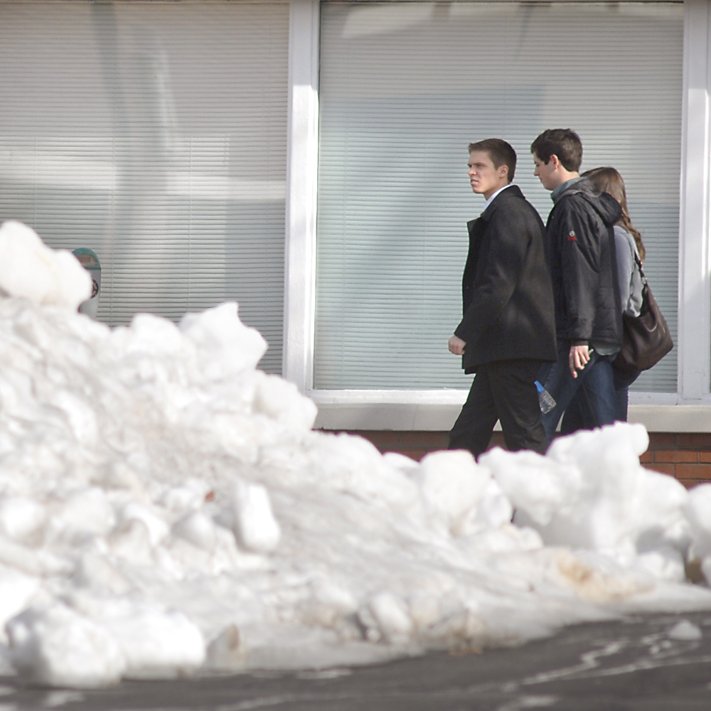
 Pedestrians walk past a large pile of unmelted snow in a Republic parking lot at the corner of 10th and Market Streets in downtown Chattanooga in January.
Computer models, woolly worms and astronomical forecasters agree: Tri-state residents will be colder in a few months than they are right now.
But beyond that, forecasts vary from snowy and icy to dry and mild, with some calling for a one-two punch of frigid air with a mild lull in the middle.
The National Weather Service Climate Prediction Center gives the tri-state area a equal chance of having an abnormally warm or cold winter. The center gives the region an above-normal chance for a wetter-than-average year.
Much of the center's work hinges on water temperatures in the Pacific Ocean, which influences the route the jet stream takes when moving air from west to east over the country. Warm Pacific water causes an effect known as El Nino, while cooler water causes La Nina. This year's pattern appears to be La Nina, which Weather Service experts say usually means a mild winter.
"La Nina also often brings colder winters to the Pacific Northwest and the northern Plains, and warmer temperatures to the Southern states," Mike Halpert, deputy director of the Climate Prediction Center, stated in a news release last month.
Other forecasters look at different indicators.
Melinda Lane Hedgecoth, a self-described "folklore weather prognosticator" from Crossville, Tenn., said she hasn't seen enough woolly worms to know for sure, but the coloration on the worms she has seen indicate a rough start and end of the winter with a warm lull in the middle.
Hedgecoth's mother, Helen Lane, gained national attention in the 1960s and '70s by reading the signs of winter in nature. Woolly worms with dark fur at the head are said to mean a cold start to winter, while brown in the middle means a warm spell. Solid black worms mean cold throughout the season.
Hedgecoth also counted the number of foggy mornings this summer and, because fog has been scarce, she doesn't believe there will be much snow.
"It's not going to look like much snow, so what we get maybe in the form of ice or extreme cold," she said.
Forecasters at Accuweather.com, which released its winter forecasts this week, agree that the winter will go from cold to unseasonably warm but disagree on the snow.
Meteorologist Alex Sosnowski said winter will have two distinct phases with cold Canadian air in December and January but a mild February with weather air masses coming up from the Gulf.
"We're expecting kind of a pattern flip to occur in the middle of the winter," he said. "When it does, it's going to be like night and day."
The Canadian air is likely to bring a few "ice and snow events" to the Tennessee Valley in December and early January, Sosnowski predicted.
After the flip, the Accuweather predictions call for wetter-than-normal weather from the western Carolinas into northern parts of Georgia and Alabama. As the weather warms up, the same type of unstable conditions that caused this spring's tornadoes could return, Sosnowski said.
Nick Austin, meteorologist with WRCB-Channel 3, said because of the projected location of the jet stream during the winter, any precipitation in Chattanooga isn't likely to come in flakes.
"We may get frozen precip, but it may be ice instead of snow," he said.
William Schmitz, a climatologist at the Southeast Regional Climate Center, said while scientific models are constantly improving, they still haven't developed a clear crystal ball to see the future's weather.
"The atmosphere hasn't changed," he said. "The atmosphere is still unpredictable in some capacity."
Fall, Schmitz said, has been unseasonably cool with some days almost 15 degrees below the average lows for Chattanooga. Half an inch of snow fell on Beech Mountain in North Carolina on Oct. 2, which is believed to be the state's earliest snowfall.
But a dry summer and cool fall don't necessarily mean anything about winter's weather.
"Every La Nina is a little different and that little difference can shift that dry area," he said.
Other forecasters look at signs from astronomical occurrences to morning fogs and woolly worms.
The Farmers' Almanac, which has been making weather predictions from its Maine headquarters since 1818, indicates Southerners can expect in general a very mild, very wet winter. They point to Nov. 1 through Nov. 3 for a widespread frost across the region and call for a dive in the temperatures on Nov. 29.
The Old Farmer's Almanac, based in New Hampshire and making predictions since 1792, also predicts warmer-than-normal temperatures. The almanac shows above-normal snowfall in the Mid-Atlantic down through East Georgia, but Chattanooga and Northwest Georgia are practically on the map's dividing line between snowy and dry.
In terms of snowfall, the almanacs go so far as to name days.
Old Farmer's forecasters expect snow in Tennessee Dec. 15-18, and subsequent rain-snow mixes in the region Jan. 12-16 and Feb. 9-13. The Farmers' guide calls for wet snow in Tennessee and Western North Carolina on Feb. 8 to 11 and 20 to 23.
Georgia's State Climatologist Bill Murphey expects the winter to be "on the dry and warm side" but said long-range forecasts have plenty of variables.
"It's a complex picture," Murphey said. "I trust forecasts a lot more closer in."