RIVERWALK TIMELINE
1982 Chattanooga and Hamilton County officials appoint members to the Moccasin Bend Task Force to help chart a course to revitalize and develop Moccasin Bend and local economy.1984 The task force releases the first draft of a plan calling for a 22-mile riverwalk from the Chickamauga Dam to Moccasin Bend. The blueprint also calls for an aquarium downtown and hotels and housing lining the shorelines.1986 The RiverCity Co. is chartered to help guide the effort. For the next three years, most RiverCity activities are devoted to planning and land acquisition.1987 Groundbreaking is held for the Tennessee Riverpark at what will later become the Hubert Fry Fishing Center.1989 The first phase of the Tennessee Riverpark near the C.B. Robinson Bridge is completed. This segment includes the 55-acre fishing park and more than three miles of riverfront and inland trails. It has five 50-foot fishing piers, picnic and trail shelters, a children’s playground, restaurant with bait and tackle shop, public boat ramp and boat/trailer parking and several public sculptures. In ensuing years, five additional parking areas are added to accommodate users.1991 The Tennessee Valley Authority extends the riverwalk to the base of the Chickamauga Dam. The segment includes a large picnic pavilion, scattered picnic tables and trail shelters, a handicapped-accessible fishing pier near the dam and a boat launch and boat/trailer parking.1992 Ross’s Landing Plaza opens simultaneously with the Tennessee Aquarium. The urban park celebrates community history and challenges users to get wet along a manmade stream and waterwall.1993 The historic Walnut Street Bridge is restored for public use as a linear pedestrian park. It spurs revitalization of the North Shore commercial district along Frazier Avenue.1993-95 Additional Riverwalk segments tie together Ross’s Landing and the Bluff View Art District.1996 The new Chattanooga Rowing Center and connecting Riverwalk segment are completed.1997-98 Contracts are approved to extend the Riverwalk from the Bluff View Art District eastward to connect to the Rowing Center.1999 The 8-acre Coolidge Park and the North Shore Riverwalk are completed.2005 Both the Waterfront and the remaining five-mile connector piece of the Riverwalk are completed. The millennium walk ties together the walk, running from Hubert Fry Fishing Center’s boat launch to the Rowing Center. The 21st Century Waterfront connects the Hunter Museum of American Art to the Riverwalk.2016 - The South Chickamauga Greenway is connected with a bridge, and the St. Elmo extension is completed to Whiteside Avenue.
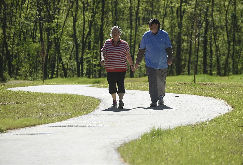
It's hard to believe now, but the Tennessee Riverwalk from one end to the other used to be mile-upon-mile of vacant warehouses and supply yards - trash heaps along a blighted river that served as our collective back door and flushing system.
Today, more than 20 miles of the Riverwalk have shifted the city's focus, giving Chattanooga both a new front door and a new sense of pride and future.
The remake - done with public and private commitment totaling about $123.5 million over 34 years - has turned blight into a series of greenways, walkways, parks and pedestrian bridges that invite nature lovers, bird-watchers, walkers, runners and bikers on scenic, open-air journeys that flow from marshes to urban park garden getaways to deep woods solitude and river's edge peace to industrial history lessons and new residential areas.
Chattanooga's river, streams and mountains were the raw materials, but the furnishings have been man-made. And the finished product is - without question - a masterpiece unveiled a segment at a time over three decades.
And there's still more to come.
***
It started in the mid-1980s when Chattanooga's downtown - especially near the river - was a ratty ghost town. The late county Mayor Dalton Roberts has described that time as one when "you could fire a cannon down Broad Street and not hit a soul."
But that bleak time was also when a five-member Moccasin Bend Task Force, a city- and county-appointed panel, set out to revitalize Chattanooga by reconnecting the city to the river. Their first working draft included a blueprint that inked in a Tennessee Riverwalk so ambitious that few Chattanoogans gave it credence.
The plan called for a trail along the river from the Chickamauga Dam to Moccasin Bend, and for an aquarium and botanical garden. It envisioned hotels, restaurants and other businesses along the north and south shores of the Tennessee River.
"People said, 'There's no way this can happen at this magnitude,'" said Jim Bowen, a member of the panel appointed nearly 35 years ago to help resuscitate Chattanooga after its steep manufacturing decline.
Last week, on the heels of the opening of a pedestrian bridge that connects the Tennessee Riverwalk near the Chickamauga Dam with the South Chickamauga Greenway that leads to Camp Jordan in East Ridge, Bowen acknowledged that even he had initially doubted the fruition of that initial grand vision.
"It has surpassed all of my expectations," Bowen said last week. "It was supposed to be 20 miles, and I think everyone thought that was pie in the sky. To see it where it is now - with another extension going all the way to St. Elmo - that's unbelievable."
Bowen, who was the first RiverCity president and is now retired, says he and other city leaders once analyzed the money put into the Riverwalk system. They found that, before the addition of the 21st Century Waterfront, every dollar of city and county public money put into the Riverwalk was producing another $13 in state and federal or foundation money.
It was then, and is now, all money well spent.
Wherever the Riverwalk and its side paths have restored our riversides and stream banks, quality private development has followed. Downtown has at least seven new hotels, and area residents can barely keep up with all the announcements of new condos and apartments. Even a decade ago, city planners had tallied $2 billion in development around the then-existing 12 miles of Riverwalk. The original waterfront blueprint three and a half decades ago predicted improvements could spur about $750 million in development.
***
The Chattanooga office of the Trust for Public Land - a big supporter of the Riverwalk - has a huge table map showing red and green lines that, in connect-the-dots fashion, link about 100 miles of trails around Chattanooga. The center of that map - the spine, actually - is the Tennessee Riverwalk.
But lest anyone think that the Tennessee Riverwalk is just a 10-foot-wide concrete walkway in the city that planners use to dream - think again.
A far too well-kept secret of the Riverwalk is how easily visitors can meander from nature viewing to enjoying art and fine dining near our revamped waterfront to an open-air lesson in Chattanooga history and the city's newest, trendy homes.
At one end, bird-watchers for a decade chronicled the life of a rare peregrine falcon that nested near the Chickamauga Dam, but visitors can also walk up to the dam from the Riverwalk and see the turbines. Or they can head west to the Hubert Fry Fishing Park where 50-foot fishing piers jut out into the river, or turn south on a tributary walk along the South Chickamauga Creek extension and see the historic Sterchi Farm with its new canoe/kayak launch. Eventually this tributary will connect all the way to Camp Jordan in East Ridge.
At the Hubert Fry Fishing Center, there's also a 55-acre park filled with garden plantings, sculptures, playgrounds and fields large enough to host car shows, touch football and family reunions. From there, the walk turns southwest and inland through the lowlands of the Amnicola Marsh Wildlife Preserve, lush with woods, meadow grasses, geese and dragonflies. The marsh, managed by the Tennessee Wildlife Resources Agency, is home to snowy egrets, great blue herons, red-winged blackbirds, mallard and wood ducks.
But there is history here, too. In Chattanooga's early days, the lowland was part of the farm home of Thomas Crutchfield, who had sold a hotel in Chattanooga at the outset of the Civil War to move his family where he thought they would be safer, according to one of the many plaques along the walk. He named the farm Amnicola, a Latin word meaning "dwelling by the river." But instead of having isolation from the war, the family woke one morning to find their farm occupied by Union soldiers who had crossed the river on a floating pontoon bridge. In the days after the battle here, wounded soldiers were treated in a field hospital set up at the farm.
Eastward, the Riverwalk turns with a bend in the river and passes the William Raoul Rowing Center, Tennessee-American Water Co., Scrappy Moore Field and Battery Place before crossing above Veterans Bridge and entering the sculpture garden leading to the Hunter Museum of American Art. Suddenly, Riverwalkers have left the woods and river lowlands and entered a modern urban park that includes the Plexiglas-topped Holmberg Bridge, the Walnut Street Bridge, the Tennessee Aquarium Plaza, the 21st Century Waterfront and the Passage, a stair-step waterfall fed by tiny rivulets that serve as a reminder of the tears shed by seven Cherokee tribes driven from their homes during the Trail of Tears. A side trail walk over the Walnut Street Pedestrian Bridge, the oldest and largest surviving truss bridge in the South, leads to a revitalized Frazier Avenue, Coolidge Park and Renaissance Park.
The main Riverwalk leads on toward St. Elmo (and eventually the Incline Railway), taking visitors on an industrial journey that makes clear why Chattanooga sprung up along the transportation corridor of the Tennessee River. The Riverwalk passes beneath the huge cranes of Alstom where products are loaded on barges and past the U.S. Pipe property. Across the river, the view of Moccasin Bend and Lookout Mountain is at its iconic best.
Just an old trail? Just a 10-foot concrete path? Hardly. Its real measure is community pride.
If you haven't walked the walk - the Riverwalk - you should.