Severe thunderstorms, large hail could hit Chattanooga area this weekend


              Lightning strikes over Mount Nittany in State College, Pa., Tuesday, June 23, 2015, as a thunderstorm moves through Centre County. Severe weather that pounded the Midwest and spawned tornadoes shifted on Tuesday to the East Coast, where tornado warnings were issued in several states and rainstorms were strong enough to stop train service. (Nabil K. Mark/Centre Daily Times via AP)
Lightning strikes over Mount Nittany in State College, Pa., Tuesday, June 23, 2015, as a thunderstorm moves through Centre County. Severe weather that pounded the Midwest and spawned tornadoes shifted on Tuesday to the East Coast, where tornado warnings were issued in several states and rainstorms were strong enough to stop train service. (Nabil K. Mark/Centre Daily Times via AP)

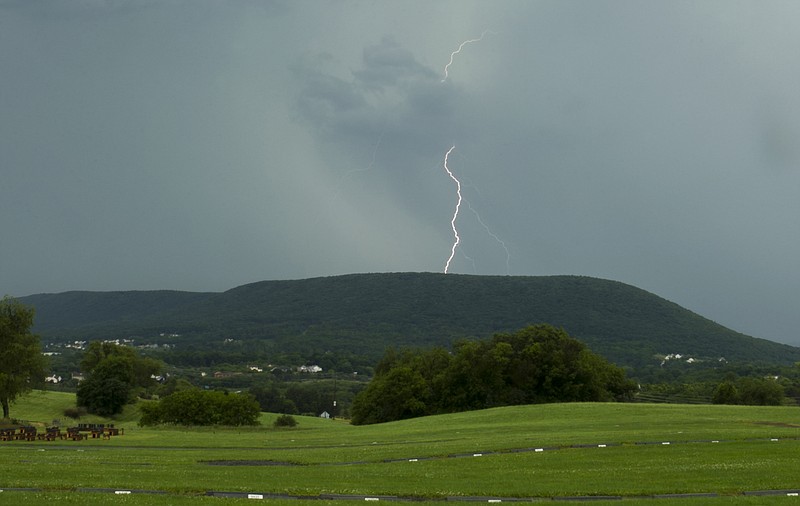
Showers and thunderstorms are likely tonight, some of which could reach severe levels, according to the National Weather Service.

The strongest storms are expected to move out of Kentucky into middle and east Tennessee around midnight, moving into southeast Tennessee and southwest North Carolina early Saturday morning.

Some of these thunderstorms will be capable of producing damaging winds, large hail, and brief heavy rainfall. An isolated tornado cannot be ruled out, particularly across southern portions of the Tennessee Valley.

Strong to severe thunderstorms will again be possible Saturday afternoon into the evening. The main threat will be strong damaging winds, large hail and brief heavy rainfall. An isolated tornado will also be possible.

Upcoming Events