Just when it started feeling like a trip back in time to 2016 when heat and dryness were setting records in the Chattanooga region, rain returned Wednesday and should linger for a few days to bring moderate temperatures and relief from water-starved farms, gardens and yards.
The weather pattern is becoming wetter, WRCB-TV Channel 3 Chief Meteorologist Paul Barys said in his weather blog Wednesday.
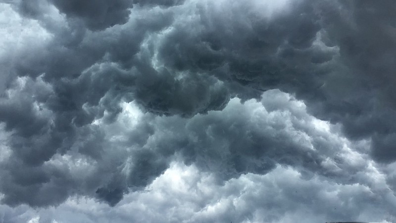
"We are going to see occasional showers and thunderstorms throughout the rest of this week and into the weekend," Barys wrote. "Timing on the showers is tough to forecast. When the rain showers get over your head they could get very heavy at times."
Barys said daily highs of around 80 will be below normal for this time of year, and lows will be near 70 in the evenings.
"Rainfall amounts will be at least 2 to 3 inches for the next 6 days. Some spots depending on where the heaviest storms develop will see 3-5 inches," Barys said.
A dry pattern has lingered for the past three weeks, "so this will keep the flooding to a minimum," he said, noting residents who live near creeks or streams should watch for flooding.
"It should end Monday night," he said.
Rains across the deep South on Wednesday brought relief in Alabama and Georgia, where drought conditions are worsening after weeks of dry weather, the Associated Press reported. The National Weather Service said rains spreading eastward will increase the chance of rain in both states through early next week. Some areas could get as much as 6 inches of rain, and rainfall projections of 4 inches are common.
More than 90% of Georgia is abnormally dry or in a moderate drought, and more than 40% of Alabama has the same problem, according to the U.S. Drought Monitor. In Tennessee, most of the state still is shown with normal rainfall accumulations with the exception of a swath on the drought monitor of about 25 counties in the middle part of the state that are abnormally dry.
Forecasters say the dry weather has been caused by a subtropical high that cut off the flow of moisture into the region, leading to record high temperatures. Some places haven't received rain in nearly three weeks.
The Associated Press contributed to this story.
Contact Ben Benton at bbenton@timesfreepress.com or 423-757-6569. Follow him on Twitter @BenBenton or at www.facebook.com/benbenton1.
7-DAY FORECAST
Thursday Showers and thunderstorms likely. Rain chance, 50% High: 79 Low: 70 Friday Showers and thunderstorms likely. Rain chance, 70% High: 81 Low: 69 Saturday Showers and thunderstorms likely. Rain chance, 70% High: 82 Low: 70 Sunday Showers and thunderstorms likely. Rain chance, 70% High: 82 Low: 69 Monday Showers likely early, then drying out. Rain chance, 60% High: 84 Low: 70 Tuesday Mixture of clouds and sun. Rain chance, 10% High: 82 Low: 64 Wednesday Partly sunny High: 83 Low: 62 Source: WRCB-TV Channel 3