If you've lived in Chattanooga long enough, you've most likely heard Stringer's Ridge name-dropped in casual conversation, and you know the views from Signal Point are hard to top.
But mainstream trails are so 2017.
While the Scenic City's heavily trafficked hangouts have secured their popularity for a reason, trails with less name recognition also bring something to the table. For many, that something is the promise of seclusion. For others, it's the thrill of discovering something new.
The region is filled with hundreds of these unique finds, so we asked the Chattanooga Hiking Club and the Soddy-Daisy chapter of the Tennessee Trails Association to share a few of their favorites closer to home. Their suggestions should be enough to whet your appetite. With so many hidden gems just waiting to be unearthed, there's no telling what you could discover.
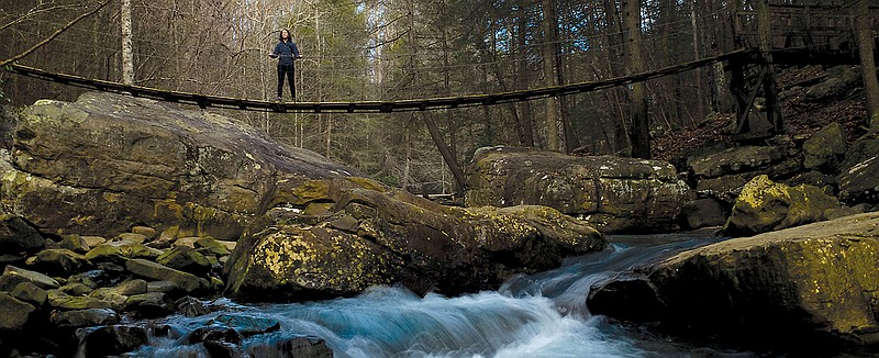
 Glen Falls (Contributed photo)
34.992889, -85.339571
If you've ever driven Ochs Highway up Lookout Mountain, you may have sped right past this hidden alcove and not even known it. Tucked off the roadway and fairly difficult to find, the trail is filled with several unique features that warrant the search. It has a short wooden walkway that looms over a small pool beneath the waterfall, a series of stone steps that lead to a small tunnel in the rocks, and great views of the falls. While the falls aren't large, they are gorgeous all the same, especially after a rainfall.
Difficulty: Easy
Distance: 2 miles
Drive time from downtown: 15 minutes
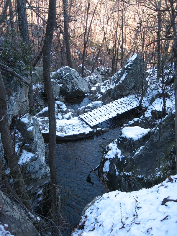
 The first water crossing of the new Ritchie Hollow Trail is seen just before its late-January opening. (Staff photo by Doug Strickland)
35.08892, -85.39979
This trail may not yet be a household name in Chattanooga, but that's bound to change soon. Opened to the public just this January, this newly built trail connects the Tennessee River to the ever-expanding Cumberland Trail system in Prentice Cooper State Forest. Despite its several stunning snapshots of the river gorge, however, this path offers more than just a pretty face. While huffing up the trail's 1,000-foot climb, travelers will splash through at least two water crossings and wander past abandoned moonshine stills that pay homage to the area's history as a clandestine liquor-making locale.
Difficulty: Moderate
Distance: 2.5 miles
Drive time from downtown: 25 minutes
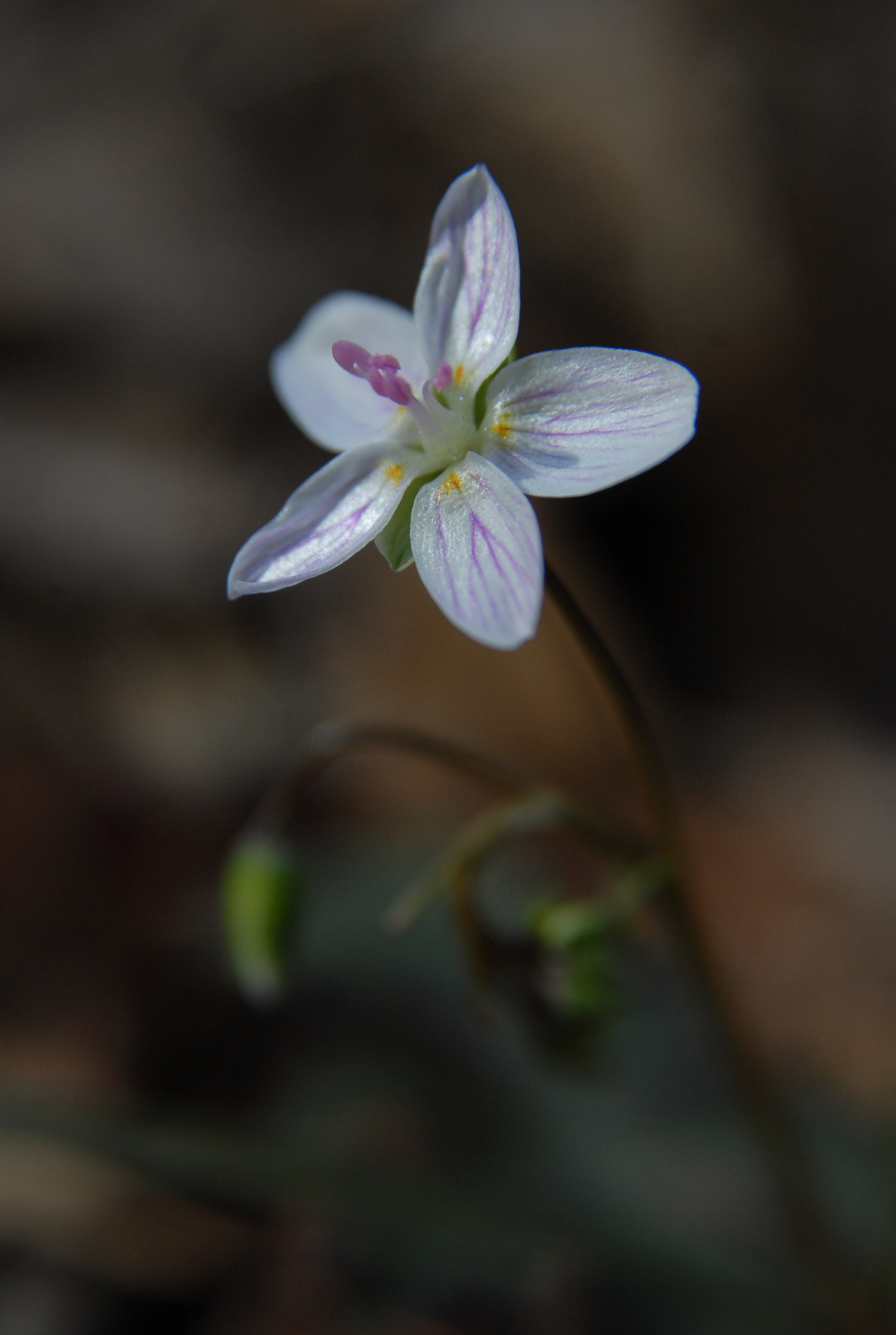 Blue phlox
35.21749, -85.91854
Located on the grounds of Sewanee: The University of the South, this short section of the school's Perimeter Trail is definitely worth the trip for botany-lovers. From mid-March to mid-April, considered peak season for the area's woodland wildflowers, the grounds are covered with a colorful array of plant species, such as red trillium, wild blue phlox and yellow mandarin. Enthusiasts can continue their tour of the area's flora by migrating to other blooming Sewanee trails nearby, like Bridal Veil Falls Trail, or continue along Shakerag Hollow to take in the scenery from Green's View overlook.
Difficulty: Easy
Distance: 2.5 miles
Drive time from downtown: 50 minutes
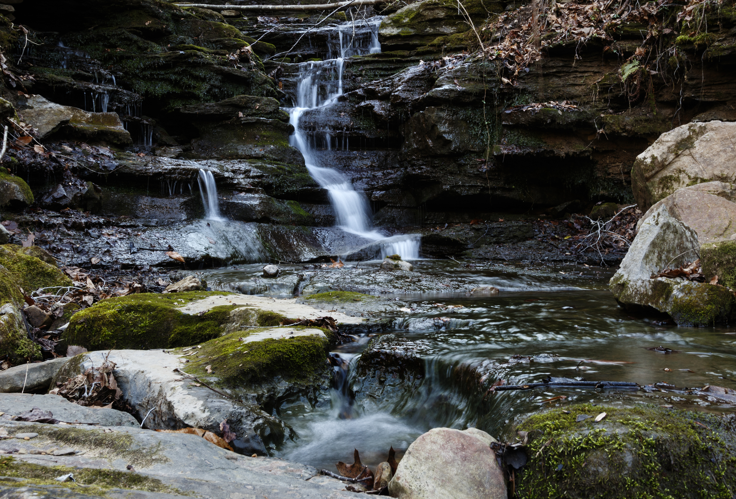
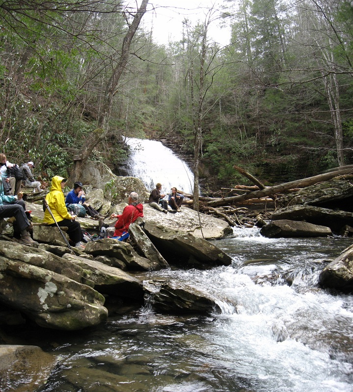 Hikers lounge by Stinging Fork Falls. (Contributed photo)
35.71265, -84.92835
Though the hike to this Rhea County waterfall starts out like any other, it's the trail's "choose your own adventure" feel that makes the journey so unique. After strolling along the flat path for about half a mile, weekenders will come to a fork in the road. Those who veer right will take a peaceful trip to the trail's overlook, which provides a decent view of the 35-foot waterfall below. Those who veer left, however, will sweat as they scramble down wooden stairs and over large, slippery rocks to clear the steep descent. From there, they will follow a fast-flowing creek upstream to reach their reward: the waterfall and the swimming hole that lies beneath it.
Difficulty: Moderate-hard
Distance: 1.7 miles
Drive time from downtown: 1.15 hours
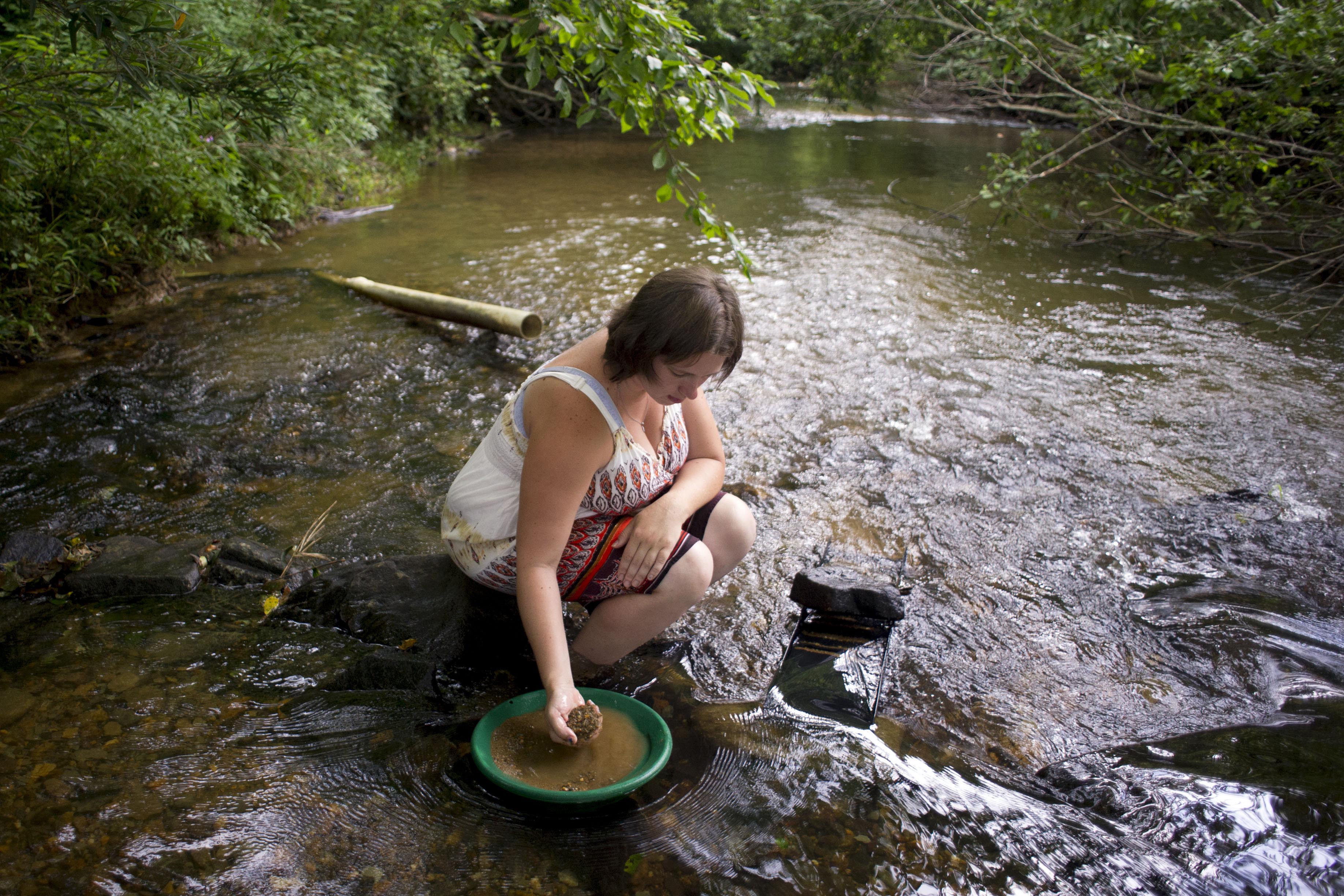 In this July 2013 photograph, Christina Presley uses a sluice to prospect for gold on Coker Creek near Tellico Plains, Tennessee. (AP Photo/Saul Young, Knoxville News Sentinel)
35.17943, -84.39112
You may want to keep this sweet find in mind when the sweltering Tennessee heat sets in. Located within Cherokee National Forest, this creek-side trail is brimming with crisp, cool waters - and plenty of excuses to hop in. Along the narrow and sometimes frighteningly steep trail, visitors will find several swimming spots in waiting, fly fishermen casting their reels, and even amateur gold panners hoping to strike it rich in an area long known for producing the mineral.
Difficulty: Moderate-hard
Distance: 4.7 miles
Drive time from downtown: 1.5 hours