
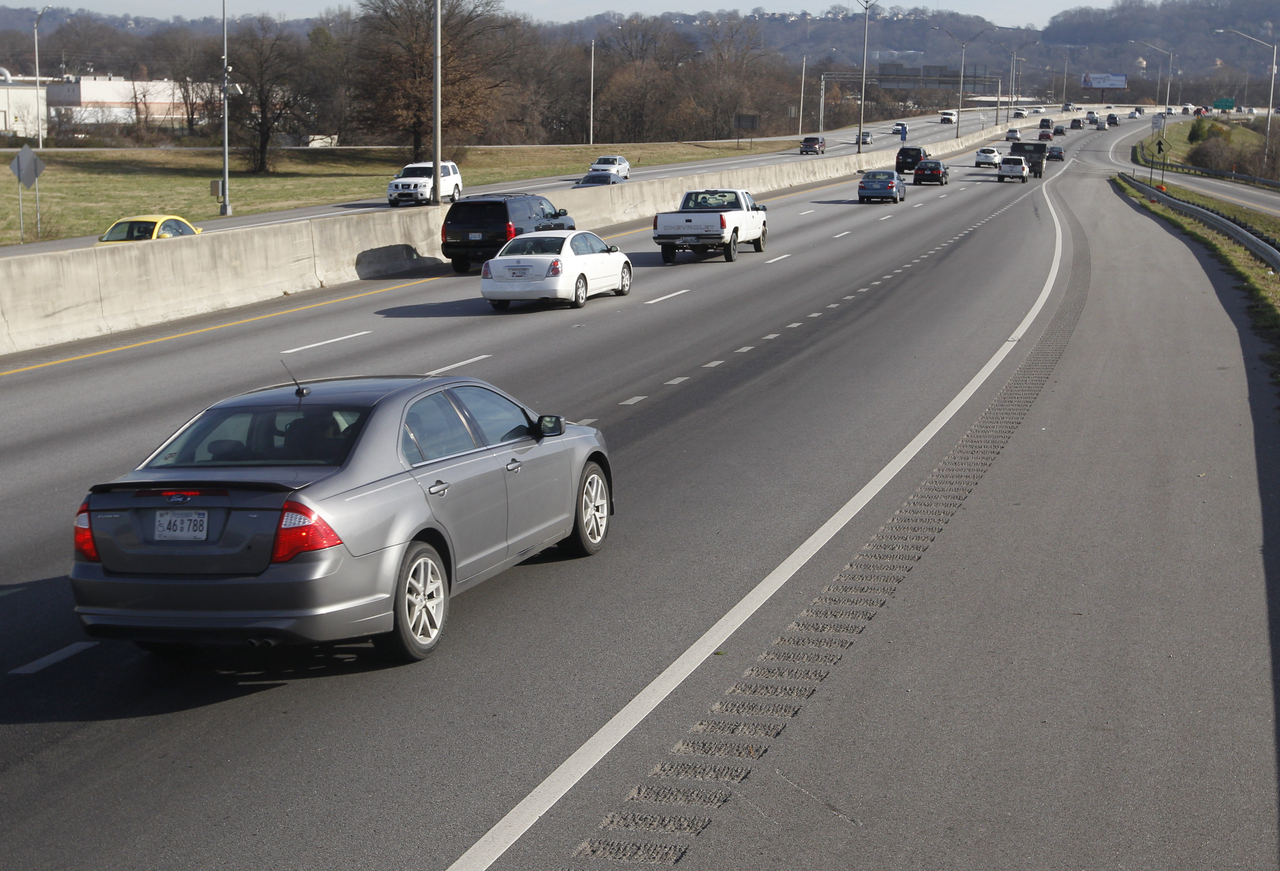
 Cars travel along an eastbound segment of Interstate 24 between Rossville Boulevard and Fourth Avenue that exceeds the average statewide crash rate by two or more times Friday in Chattanooga.
Of the 10 most dangerous spots on all 180 miles of Interstate 24 in Tennessee - the places where your chance of being in a crash is more than twice the state average - three are in downtown Chattanooga.
City commuters won't be surprised to learn that two are just west of Missionary Ridge, and the third is the concrete canyon between Belvoir Avenue and South Moore Road -- choke points where rear-enders and fender-benders can lock up traffic for hours.
The numbers come from an ongoing study of the entire I-24 corridor by the Tennessee Department of Transportation and include two other spots in the neighboring communities of Kimball and Monteagle. Of the remainder, four are in Davidson County and one is in Robertson County.
Results of the study, due Jan. 30, will help TDOT decide what fixes will help the 1960s-era highway accommodate 21st-century transportation needs, said Jennifer Flynn, spokeswoman for TDOT's Region 2 office in Chattanooga.
Flynn said antique designs such as the combined acceleration/deceleration lanes in the Moore Road area and the sharp curve at the bottom of the ridge cut in the westbound lanes would not meet today's standards.
"Were we to build a new interstate today in Chattanooga, it would likely be in another location entirely due to the tremendous historical significance of Missionary Ridge, along with the geographical and environmental challenges of the area," she said.
TDOT crunched crash numbers in its Highway Safety Improvement Program database to find the highway's most crash-prone areas.
The state figures the risk per million vehicle miles traveled: an average of 0.981 crashes per million miles on urban interstates and 0.44 per million miles on rural interstates.
An I-24 section had to have at least twice the average crash rate to make the Top 10.
That applies easily to the areas between exit 180 and Fourth Avenue, said Bob VanHorn, traffic operations manager for TDOT's Transportation Management Center in Chattanooga. His guys are the white knights in green trucks who cruise the highways helping get stranded motorists moving and keeping traffic lanes clear.
The westbound lanes between exit 180-A and 180-B (Rossville Boulevard), and the eastbound section between Rossville Boulevard and Fourth Avenue are a mess of jousting vehicles -- speeding or crawling up and down the Ridge cut, maneuvering to enter, exit or change lanes.
Concrete barriers, the road angle and sharp curves shorten sight lines, leaving little margin for error if a driver looks up to see traffic at a dead stop ahead. At highway speeds, "you're on it before you know it," VanHorn said.
In the Belvoir-to-South Moore section, he said, a key problem is "decision-making" as strangers passing through try to position themselves for Atlanta or Knoxville amid speeding local traffic.
And a growing complication everywhere, VanHorn and others said, is motorists who are doing everything but driving.
"It's not necessarily the roadway but the users. Distracted driving just seems to be rampant these days," VanHorn said.
Keeping things moving is a top priority for the Traffic Management Center, he said.
"In a normal day, about 3 o'clock in the afternoon that area's going to start to get congested, and it's going to stay that way until about 6:30. If we have even a minor fender-bender, that traffic's going to be really snarled," he said.
He cited a study by the Texas A&M Transportation Institute showing that just having a disabled vehicle on the shoulder can slow traffic by 30 percent. And for every minute of slow-down, it takes four to five minutes to get back to normal, VanHorn said.
"Anything on the shoulder will affect traffic," he said. "People are going to be people. They're going to look."
That's why the center tries to be "very aggressive" about clearing the road after an incident, he said. It's part of the center's goal to reduce the number of secondary crashes that follow an initial incident.
The center uses everything from cameras and computerized highway signs to social media to pump out real-time information that aims to help keep motorists motoring, he said.
The TDOT study identified Kimball's trouble spot as just west of exit 152. Mayor David Jackson and Lt. John Harmon with the Tennessee Highway Patrol said there have been fewer crashes there since a project to rebuild the interchange was completed this year.
"I think the redesign is going to help a whole lot," Jackson said. "We're not working as many wrecks on [U.S. Highway 72, at the bottom of the exit], and I'm not aware of as many accidents as we've had in the past."
Harmon said the bulk of the crashes at the Kimball spot and the one on the western rim of Monteagle Mountain, just west of exit 134, can be blamed on people driving too fast for conditions -- especially in the rain -- and not paying attention.
He said the highway patrol uses crash data to identify and target trouble spots.
"We're very proactive in data-driven enforcement and education," Harmon said. "We're using all the data we can get now to hopefully prevent those crashes from happening."
Contact staff writer Judy Walton at jwalton@timesfreepress.com or 423-757-6416.