Heavy rain floods roads, causes school closings in West Tennessee

This NOAA satellite image taken Thursday, March 10, 2016, at 12:45 a.m. EST shows a strong area high pressure off of the Eastern Seaboard. This dome of high pressure has brought record high temperatures to the Northeast. This has also caused a front to stall out over the Mississippi River Valley which is focusing very heavy rainfall and thunderstorms. Some locations in the Lower Mississippi River Valley will see over a foot of rainfall. This much rain will cause flash flooding and river flooding. In addition to the heavy rain threat, thunderstorms will be accompanied with hail, frequent lightning, and strong wind gusts. The storm system is not expected to move much over the next couple of days. Rain also extends into the Ohio River Valley and northern New England along this large stationary front.

JACKSON, Tenn. - Schools shut down early and roads were closed Thursday due to flooding caused by heavy rain throughout West Tennessee.

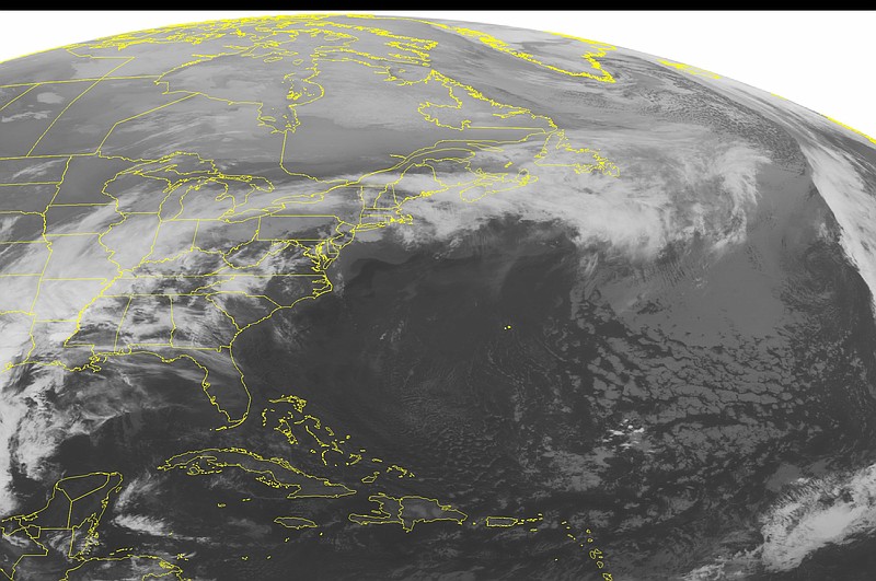
The National Weather Service says 3 to 10 inches of rain has fallen in counties along the Mississippi River in West Tennessee, eastern Arkansas and north Mississippi since late Tuesday, flooding roads, parking lots and fields. The flood threat is expected to continue into Friday, as another 1 to 3 inches of rain could fall in the Mississippi Delta region, meteorologist Scott McNeil said.

Flood warnings were in effect for much of the region. No weather-related injuries were immediately reported.

"Everything is saturated and rivers and creeks are already high," McNeil said.

Schools were closed by 11 a.m. in Gibson and Madison counties. Marty Clements, emergency management director in Madison County, said county schools were closed early to allow parents and bus drivers to get children home safely in case of major flooding.

Three women were evacuated by the Jackson Fire Department from two homes located near a creek that overflowed, Clements said. Officials were monitoring two subdivisions in Jackson where high water was becoming a problem, Clements said.

Dozens of roads in Madison, Shelby and Tipton counties were closed. In Memphis, felled trees became road obstacles and a small mudslide caused the partial closure of a busy road that runs along the Mississippi River.

Officials are urging motorists to avoid trying to drive through high water with the message "turn around, don't drown."

Upcoming Events