More Info
View a topographic map that shows the elevations of Chattanooga neighborhoods
This is part two of a two-day series taking a look back at historic floods in Chattanooga. Read part one here.
Could a great flood such as those that happened 100 years ago in 1917 and 150 years ago in 1867 happen again?
Didn't the Tennessee Valley Authority build a dozen dams to control the Tennessee River so the city could never again be inundated?
Actually, no, according to Tom Barnett, the senior manager at TVA's operations center. "TVA's system of dams and reservoirs cannot prevent all flooding in the city," Barnett said in a recent interview.
As proof, he pointed to March 1973, when the river surged almost 40 feet above normal, more than 10 feet above the flood stage. Eastgate Mall, at the time the city's largest, and Brainerd High School were hard hit, as was Lovell Field.
In a report issued a year later, the U.S. Geological Survey and the National Oceanographic and Atmospheric Administration concluded the worst flooding and damage on the entire river was along South Chickamauga Creek and its tributaries.
Property damage was estimated at $35 million in Hamilton County and another $6 million in North Georgia. More than 20 percent of Chattanooga's land area - about 11,000 acres - flooded, including interstates 75 and 24, more than 500 businesses, and 2,400 homes. Some 8,000 people were evacuated and 2,000 were temporarily out of work.
And it could happen again.
Measurement of the rainfall in 1973 conclude that it was around the "once in 100 years" level, certainly not a reason to feel safe considering that storm was 44 years ago.
So why didn't the TVA dams prevent the flood? Because most of the rain fell close to Chattanooga, below the point in the river where the dams could hold back the floodwaters, according to the government report.
The TVA dams did do a good job in limiting the flood damage. Without them, the flood level would have been 52 feet, TVA engineers estimated.
That would have been a devastating flood, leaving significant portions of downtown, Brainerd and East Ridge under at least 10 feet of water. The normal level of the Tennessee river at the gauge on the Walnut Street Bridge is 643 feet, and much of the city is only about 660 to 680 feet above sea level (to see a topographical map showing the elevation of your neighborhood, visit timesfreepress.com).

Chattanooga's problem is that much of the city lies in relatively low flatland on the Tennessee River, just north of where the river narrows into a gorge. The area to the north where rainwater flows into the river is huge, creating an immense funnel across 21,000 square miles. The French Broad, Holston, Clinch and Hiwassee rivers all dump their water into the Tennessee.
When TVA was proposed, its purpose was both flood control and economic development, both intertwined.
"You can look at any indicators such as jobs or health - the [Tennessee] valley in the 1930s lagged behind," said TVA historian Pat Ezzell. "Most people were farmers, and this erosion and flooding really did impact the area." The electricity generated by TVA dams was a bonus, and a big help to economic development, but it was not the primary goal for the agency.
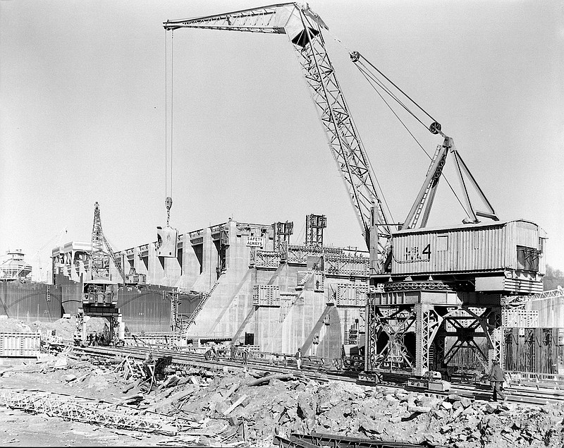
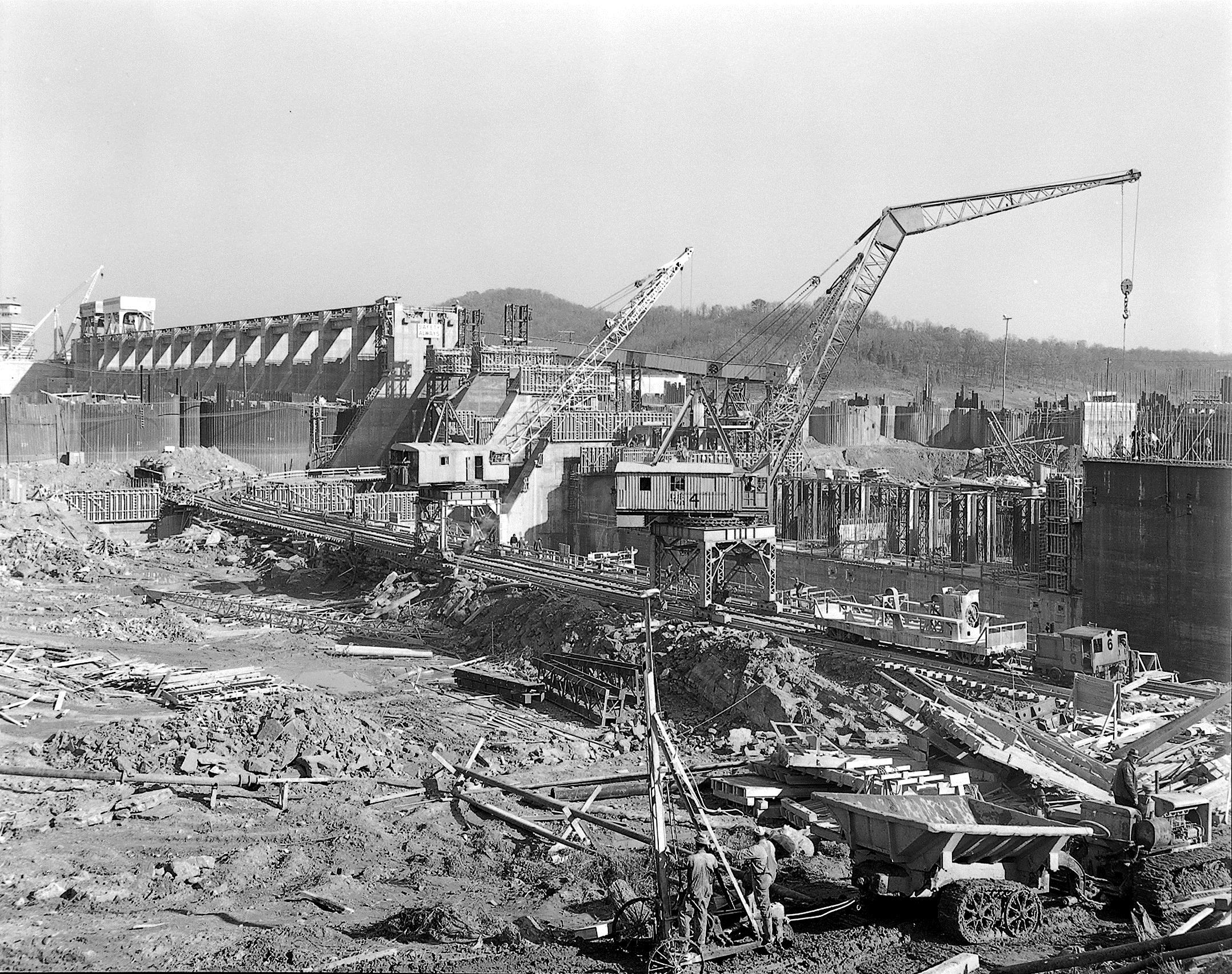
TVA ultimately built more than a dozen dams and locks above Chattanooga, not just on the Tennessee River but also on its tributaries, allowing engineers to hold back floodwaters and reduce the height of their crests by selectively releasing the water. Fortunately, the worst flooding occurs in January, February and March, when recreation is not important, so the lakes can be lowered to provide plenty of space for rainwater.
Barnett manages the operations center that regulates water releases from the reservoirs.
"We're looking at the forecast as to how much inflow is coming into the reservoir system, and we route that through our model that translates rainfall into runoff," he said. That tells the engineers how much water to release to keep the river at a safe level.
"The decisions themselves on paper are pretty much that simple," Barnett said. "You can enter the numbers, and click on a mouse and run it." If possible, TVA wants to run excess water through its turbines to generate electricity because that hydropower is cheaper than that produced by the system's coal-fired or nuclear plants.
If there is more water than can be forced through the turbines, then the flood gates need to be opened, so an order goes out to the technicians who climb into a crane and raise the gates.
The TVA lake and reservoir system can hold 1.6 trillion gallons of water or five million acre-feet (an acre-foot is an acre of land under one foot of water). It was designed based on the level of the 1867 flood, the worst in Chattanooga history. "We designed it to handle a volume of water 40 percent bigger than the 1867 event and then we added a 20 percent safety factor on top of that," Barnett said.
But the entire system did not get built. TVA had proposed an extensive series of levees along the river near Chickamauga Creek, only some of which were built. Officials could not come up with the funding to complete the levee system, leaving the city vulnerable to rare floods such as the one in 1973.
Barnett believes it is now too late to complete the levee system.
"It would be very challenging to acquire the land and the construction costs would be astronomical," he said. In addition, "the river has become such a focal point that there would be a lot of pushback if we started putting levee walls in front of it that would block the river and make it less accessible.
"So the flooding potential is still there in Chattanooga," he said. "We can minimize it, but we won't be able to prevent all floods."
Contact staff writer Steve Johnson at 423-757-6673, sjohnson@timesfreepress.com, on Twitter @stevejohnsonTFP, and on Facebook, www.facebook.com/noogahealth.