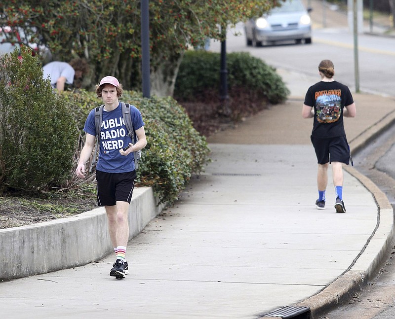
 Noah McLane walks across the University of Tennessee at Chattanooga campus wearing shorts and a t-shirt Wednesday, February 6, 2019 in Chattanooga, Tennessee. While Chattanooga saw freezing temperatures and a light snow in some areas last week, Thursday temperatures are expected to get in the high 70s. McLane said last week he was wearing long pants and sweaters.
HISTORIC CHATTANOOGA WEATHER
Highest temperature: 107 F on June 30 and July 1, 2012Lowest temperature: -10 F on Jan. 21, 1985, Jan. 31, 1966, and Feb. 13, 1899Highest rainfall total in one day: 9.49 inches on Sept. 5, 2011Highest rainfall total in one month: 16.32 inches by March 31, 1980Highest rainfall total in one year: 73.70 inches in 1994Most snow in one day: 18.5 inches on March 13, 1993Most snow in one month: 20 inches by March 31, 1993Most snow in one season: 22.2 inches in 1917-1918Most snow in one year: 22.7 inches in 1992-1993Source: National Weather Service
Barely a week since schools were called off in anticipation of snow and bitter cold, a warm snap could set new record highs across the region - but it won't last.
Wednesday's temperature matched the local record high of 70 degrees; Thursday is expected to reach near the 80s.
"If that happens, it smashes the record," WRCB-TV Channel 3 chief meteorologist Paul Barys said Wednesday on his weather blog.
The normal for this time of year in February is 53 degrees, Channel 3 meteorologist Alison Pryor said. The record for Feb. 7 was set in 1999 when it was 74 degrees in Chattanooga.
FIVE-DAY FORECAST
THURSDAYMostly cloudyHigh: 76Low: 39FRIDAYCloudyHigh: 46Low: 29SATURDAYCloudyHigh: 48Low: 35SUNDAYLight rain in the eveningHigh: 49Low: 43MONDAYRainHigh: 58Low: 53Source: WRCB-TV Channel 3
This time last year temperatures were seasonable - a high of 53 and low of 32 - but from Feb. 21-23 in 2018 daily highs were 80, 81 and 81, setting new records over those three days, Pryor said. Those three days marked the warmest temperatures ever in February in Chattanooga, according to National Weather Service records in Morristown, Tennessee.
An arctic front stretching across the country Thursday and Friday is responsible for "strong temperature contrasts" and unseasonable warm weather across the South, as folks north and west toward the Rockies will see below-average temps, weather service officials in Morristown said Wednesday.
Meteorologist Charles Dalton said record highs are being triggered by "real persistent and nice southerly winds and warm air pushing in from the Gulf area."
"Everybody across East Tennessee, the Carolinas and down into Georgia, they're going to be pretty warm Thursday," he added, noting most communities will see temperatures 20 to 25 degrees above normal.
"We're forecasting 2 to 3 degrees above record highs," Dalton said. "That's pretty significant. That's not something that happens every year."
But come Friday, it will start to cool off again.
A cold front will usher in a brief return to normal across East Tennessee over the weekend, with another warm up possible next week.
"Thursday night, some rain showers will move through and end on Friday morning," Barys said. "The actual high for Friday will be right after midnight and in the low 60s. Temperatures will hold steady or slowly fall throughout the day on Friday. Winds will be brisk and out of the northwest."
Contact staff writer Ben Benton at bbenton@timesfreepress.com or 423-757-6569. Follow him on Twitter @BenBenton or at www.facebook.com/benbenton1.