
Despite a cold, dry November, Chattanooga has broken 17 weather-related records in 2019 for heat and rainfall, a sharp increase from five such record-setting days in all of 2018.
The records were anchored by a long heat wave that set 13 record highs between Sept. 12 and Oct. 4, including Oct. 3, when temps topped out at 100.
"Basically, it seems like whatever pattern we got into this year, we just stayed stuck in it longer," said meteorologist Derek Eisentrout of the National Weather Service in Morristown, Tennessee. "So we had prolonged periods of rain and long periods of dry, which is not the most common."
Nine of 11 months this year have been warmer than average, according to National Weather Service data collected at the Chattanooga airport.
A high pressure system - which brings warm, dry air - moved into the Tennessee Valley in mid-September and stayed through early October. The weather event snapped what had been a wet year following 2018's record rainfall that continued through the beginning of 2019 (and peaked with the wettest February in recorded history for the Tennessee Valley).
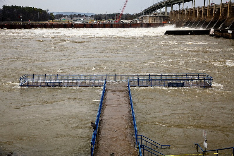
Through June, Chattanooga had 12.2 inches more rain than typical until the summer drought brought four consecutive months of below-average rainfall.
"For us in the Tennessee Valley, we just had a high pressure dome parked over us. That's when we get stuck in a pattern," said WRCB-TV Channel 3 Meteorologist Brittany Beggs. "When we don't have any rain, that pattern gets stuck."
But extreme warmth in the fall doesn't necessarily predict an extreme winter, Beggs said. It's just indicative of the air pressure patterns during the season. For winter predictions, Beggs and WRCB Chief Meteorologist Paul Barys turn to patterns, data and models.
Barys' 2019-20 winter outlook is predicting near-normal temperatures and average snowfall, about 3-5 inches total. He is also projecting a wetter-than-normal winter for Chattanooga.
So far, November has been 5.4 degrees colder than normal with some chilly days. Tennessee Valley Authority broke its all-time November peak for energy consumption due to an unseasonable cold stretch the week of Nov. 13.
Contact Mark Pace at mpace@timesfreepress.com or 423-757-6659. Follow him on Twitter @themarkpace and on Facebook at ChattanoogaOutdoorsTFP.