
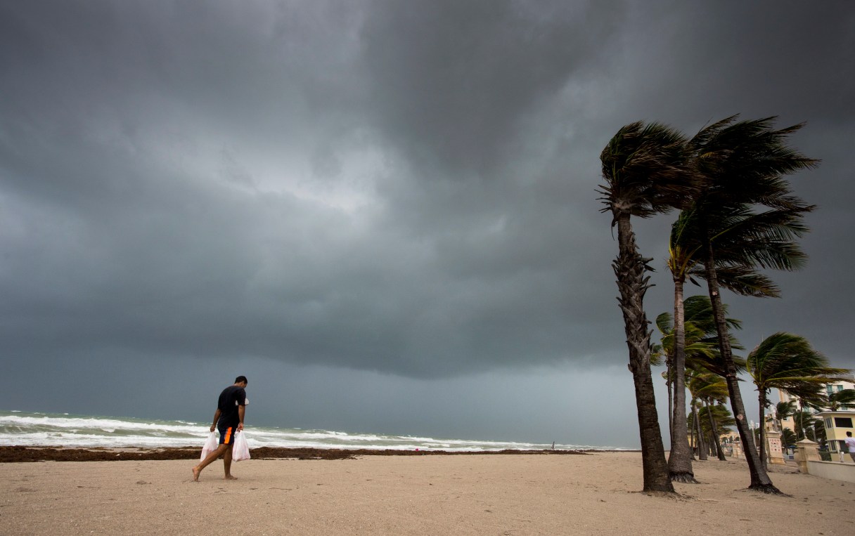
NAPLES, Fla. (AP) – Hurricane Irma’s leading edge whipped palm trees and kicked up the surf as it spun toward Florida with 125 mph winds Saturday on a projected new track that could subject Tampa – not Miami – to the storm’s worst fury.
Tampa has not taken a direct hit from a major hurricane in nearly a century.
The westward swing away from Miami in the overnight forecast caught many people off guard along Florida’s Gulf coast and triggered an abrupt shift in storm preparations. A major round of evacuations was ordered in the Tampa area, and shelters there soon began filling up.
Still, Miami was not out of danger. Because the storm is 350 to 400 miles wide, the metro area could still get life-threatening hurricane winds and dangerous storm surge of 4 to 6 feet, forecasters warned.
The window was closing fast for anyone wanting to escape before the arrival of the fearsome storm Sunday morning. Irma – at one time the most powerful hurricane ever recorded in the open Atlantic – left more than 20 people dead across the Caribbean.