
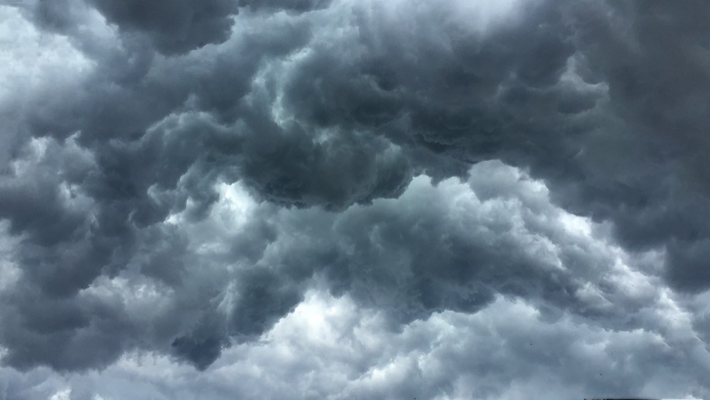
The Chattanooga region could experience severe weather from late Monday night into Tuesday evening, according to the National Weather service.
Hazardous weather outlooks have been issued for Bledsoe, Bradley, Hamilton, Marion, McMinn, Meigs, Polk, Rhea and Sequatchie counties in Tennessee and Catoosa, Chattooga, Dade, DeKalb, Gordon, Murray, Walker and Whitfield counties in Georgia for Monday and Tuesday.
A severe thunderstorm watch is in effect for portions of north and most of central Georgia until 9 p.m. Monday and a flash flood watch is in effect for portions of north and central Georgia until 2 a.m. Wednesday.
(READ MORE: Storms spawn twisters in Mississippi, kill driver in Georgia)
A few isolated to scattered thunderstorms will be possible late Monday evening into early Tuesday morning in the Chattanooga region and they may have the potential to produce lightning, large hail and strong wind gusts. Although chances are low, an isolated tornado can’t be ruled out. Localized flash flooding also will be possible.
Strong to severe thunderstorms are forecast for late Tuesday morning and again Tuesday evening. Damaging wind, large hail, lightning and an isolated tornado are the main threats. Multiple rounds of moderate to heavy rainfall will further increase the potential for isolated flash flooding through Tuesday evening.
– Compiled by Jody Park