
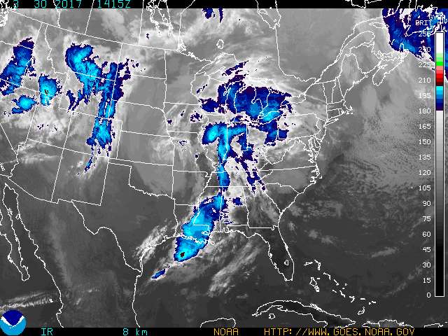
 A satellite image from the National Weather Service shows a storm system moving toward the Tennessee Valley.

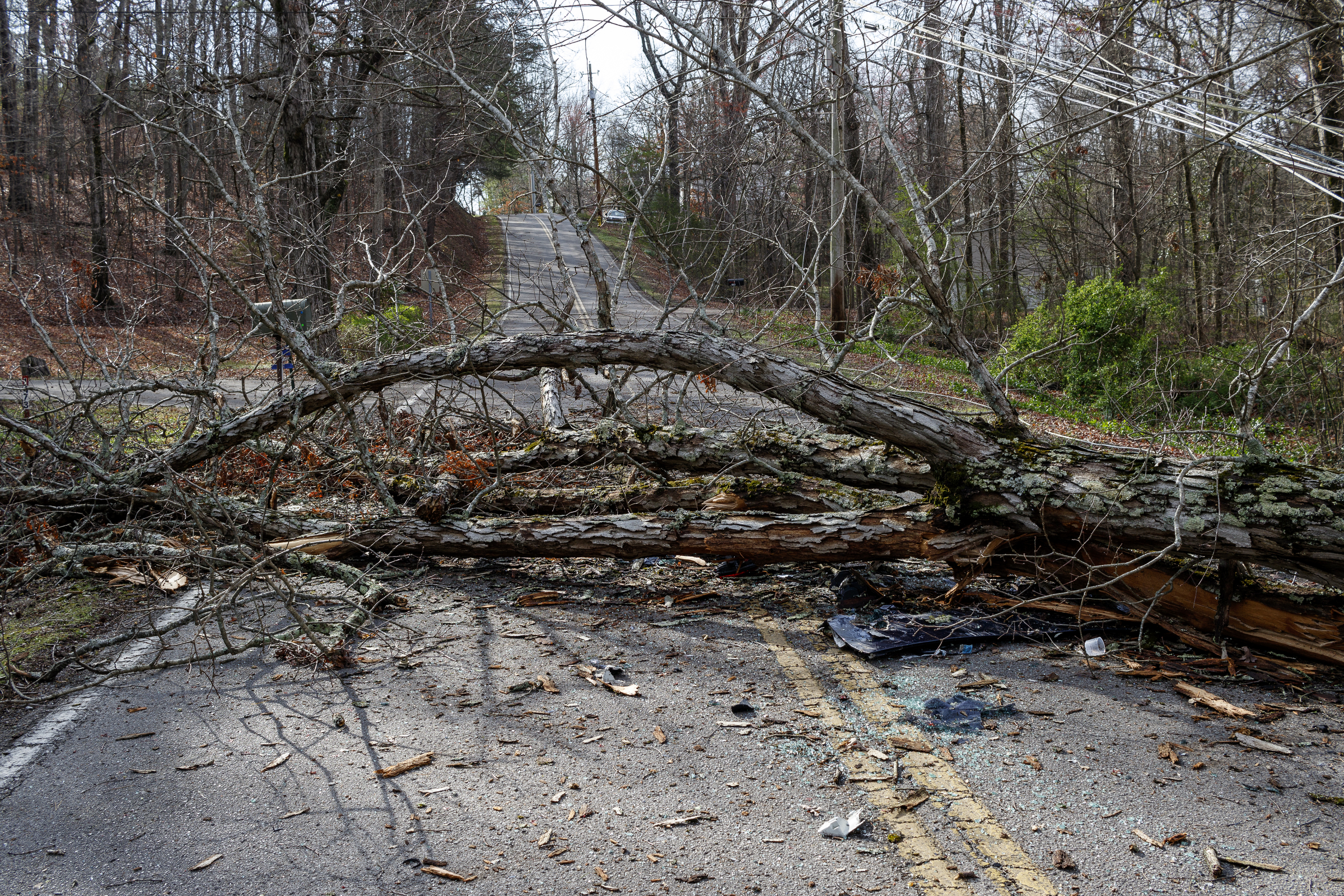

















Update at 9:40 p.m.: The National Weather Service continues to predict strong overnight storms are possible in East Tennessee, including Hamilton County and the surrounding areas.
The Weather Channel radar shows the storm’s intensity waning with the heaviest thunderstorms missing the Chattanooga area.
The National Weather Service warns of widespread showers and thunderstorms throughout the area with a risk of severe thunderstorms.
The main threat will be strong winds and hail, according to the National Weather Service.
—