
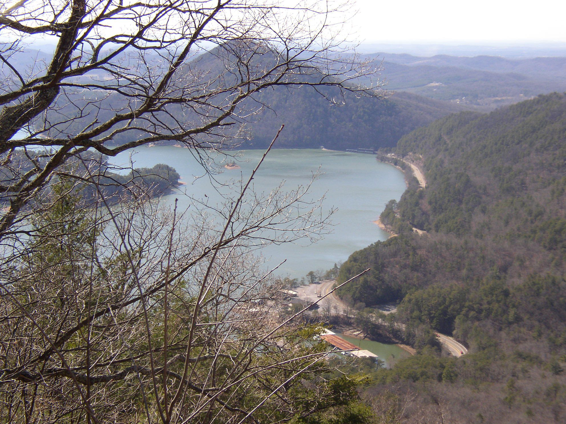
 Cherokee National Forest overlook on Chilhowee Mountain above Parksville Lake.
ABOUT THE MAPThe Cherokee National Forest Adventure Map sells for $4.95 and will be available at Walmart stores in the 10 counties that contain portions of the Cherokee National Forest — Monroe, McMinn and Polk counties at the southern end of the forest; Sullivan, Johnson, Washington, Carter, Greene, Unicoi and Cocke counties at the northern end.
The waterfalls, roadside attractions and day hikes of the Cherokee National Forest are the focus of a new map designed to make it easier for visitors to enjoy Tennessee’s largest tract of public land.
At 650,000 acres, the Cherokee National Forest actually covers more of East Tennessee than the Great Smoky Mountains National Park. With user-friendly graphics and a simple design, the new “Cherokee National Forest Adventure Map” takes this 10-county region of the Southern Appalachians and highlights the natural and historical features most likely to appeal to families and first-time visitors.
“This is a beginner’s guide to the Cherokee National Forest,” said Doug Byerly, recreation program manager for the Cherokee National Forest. “It’s designed to lead people to features that are in a day’s reach. I think it’s our job to connect people to these places, and this map makes that easy.”
The Cherokee National Forest Adventure Map sells for $4.95 — about half the cost of conventional topographic maps.