
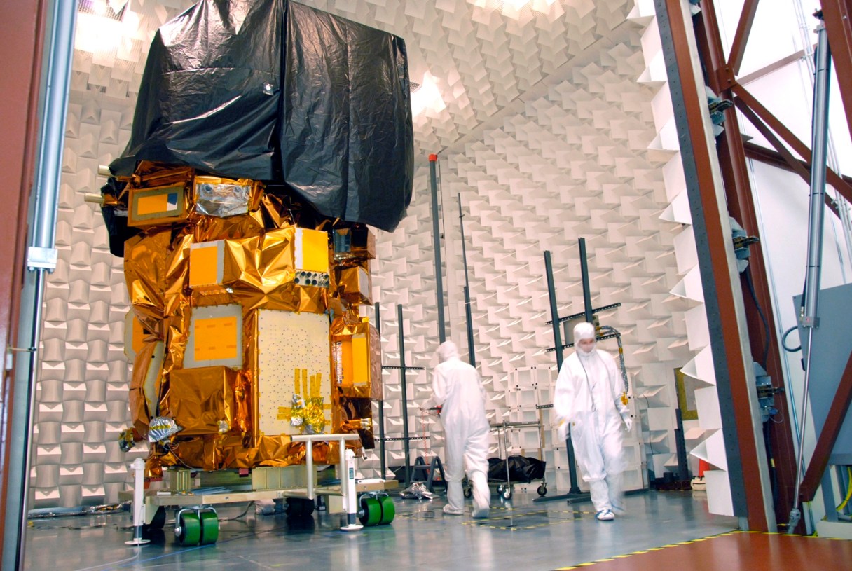
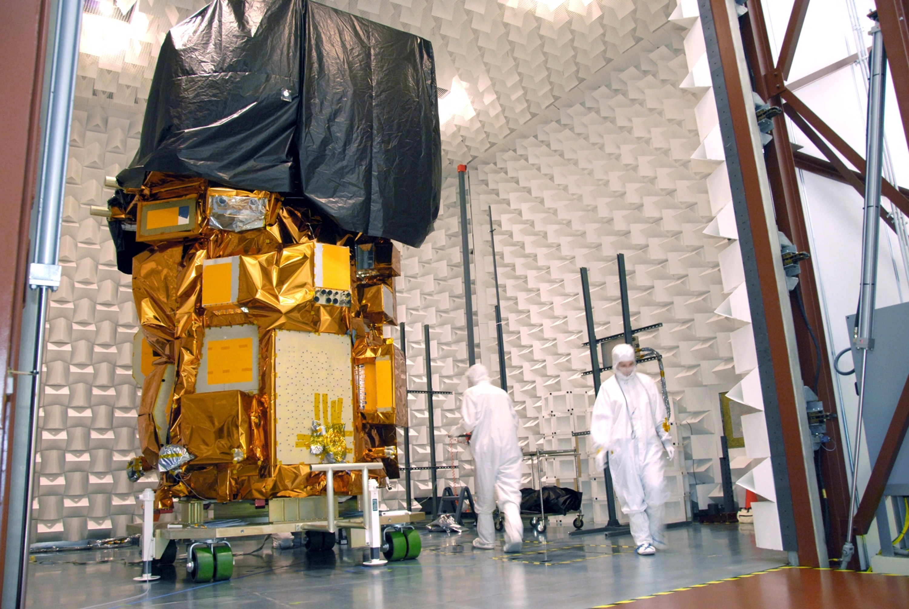
 This Aug. 7, 2012, photo provided by NASA shows the next Landsat imaging satellite during testing at Orbital Science Corporation’s facility in Gilbert, Ariz. A team of nearly 140 international scientists and engineers will gather on Sept. 24-28 at the U.S. Geological Survey’s EROS Data Center near Sioux Falls, S.D., to discuss how the satellite will be used once it’s launched into space in February. The imaging satellite, which will be known as Landsat 8 once it reaches orbit, continues the mission of Landsat 7, which has been transmitting images since 1999, and Landsat 5, launched in 1984 but on its last legs.
SIOUX FALLS, S.D. – A fleet of picture-snapping NASA satellites that for 40 years has documented forest fires, tsunamis and everyday changes in the Earth’s geography will soon get a new member.
With Landsat 8 set for a February launch, nearly 140 scientists and engineers from more than 25 countries are scheduled to gather in South Dakota next week to discuss how to best download, process and distribute the millions of data-rich images used in agriculture, education, business and government.
Since 1972, Landsat satellites have been continuously snapping pictures across the globe as part of a 40-year mission to document the planet.
But with Landsat 7 aging and its older sibling Landsat 5 failing, a new orbiter is needed to continue the long-term data record, said Jenn Sabers, remote sensing branch chief at the U.S. Geological Survey Center for Earth Resources Observations and Science.
“One of the things we want to do is preserve that legacy by ensuring that we collect consistent data with the prior missions,” Sabers said. “Although we have that consistency, we also want to make improvements.”