
Thursday, October 29, 2026Oct 29

This story is free to read.

Railroad official asks digital map makers to mark crossings

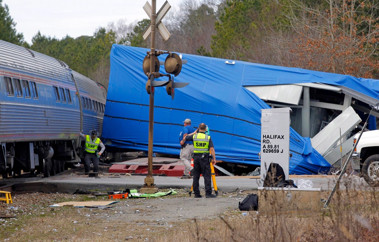
FILE - This March 9, 2015 file photo, a northbound Amtrak train collided with an oversized truck carrying an electrical building when the truck got stuck on the tracks at an intersection in Halifax, NC. The federal agency that oversees railroads is asking digital mapping companies to alert users as they approach track crossings. The Federal Railroad Administration announced Monday, June 29, that, so far, Google has agreed. (Chris Seward/The News & Observer via AP, File)
FILE - This March 9, 2015 file photo, a northbound Amtrak train collided with an oversized truck carrying an electrical building when the truck got stuck on the tracks at an intersection in Halifax, NC. The federal agency that oversees railroads is asking digital mapping companies to alert users as they approach track crossings. The Federal Railroad Administration announced Monday, June 29, that, so far, Google has agreed. (Chris Seward/The News & Observer via AP, File) FILE - This March 9, 2015 file photo, a northbound Amtrak train collided with an oversized truck carrying an electrical building when the truck got stuck on the tracks at an intersection in Halifax, NC. The federal agency that oversees railroads is asking digital mapping companies to alert users as they approach track crossings. The Federal Railroad Administration announced Monday, June 29, that, so far, Google has agreed. (Chris Seward/The News & Observer via AP, File)

LOS ANGELES (AP) – The federal agency that oversees railroads has asked digital mapping companies to alert drivers as they approach track crossings in the hope that visual and audio cues will lead to greater awareness of potential dangers.

So far, Google has agreed to update its maps with crossing locations, the Federal Railroad Administration announced Monday.

The effort comes as deaths from train-on-vehicle collisions increased in 2014 from 2013, according to the agency. With approximately 270 deaths, 2014 was the first year-over-year increase this decade, the agency said. And this year began with major accidents at crossings near New York City, Los Angeles and in North Carolina.

It’s not yet clear when the audio and visual alerts will begin popping up.

Google Maps said it is sees a chance to make the maps more useful, spokeswoman Mara Harris said.