
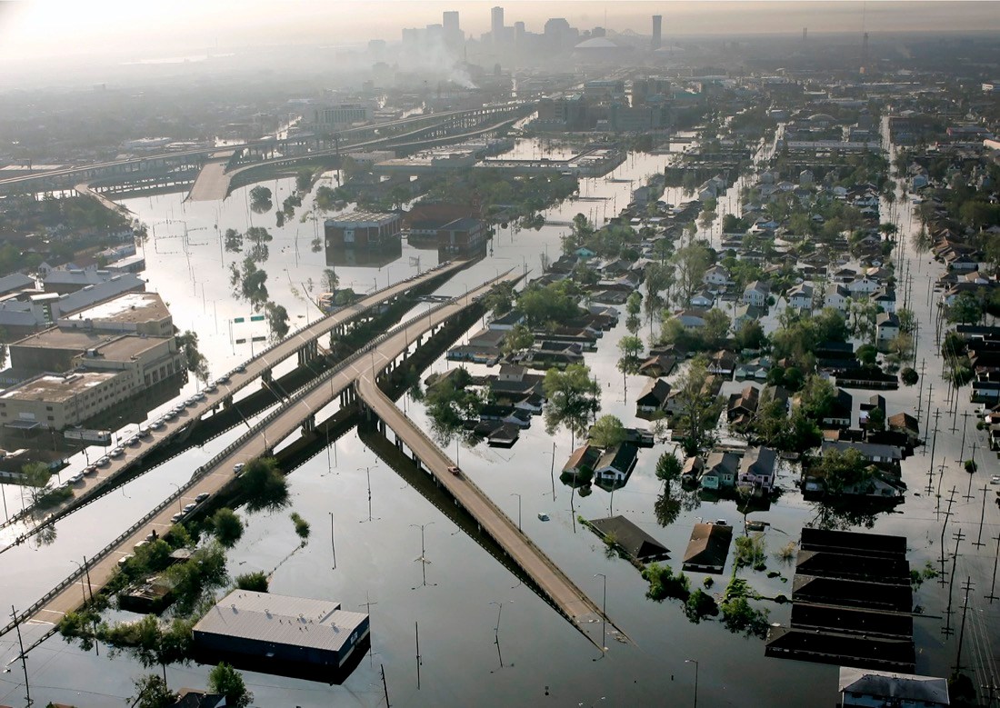
Hurricane Ida is looking eerily like a dangerous and perhaps scarier sequel to 2005’s Hurricane Katrina, the costliest storm in American history. But there’s a few still-to-come twists that could make Ida nastier in some ways, but not quite as horrific in others.
“The main story with Katrina was storm surge damage, and over a vast area. The main story with Ida will be a combination of wind, storm surge, and fresh water flooding damage,” said meteorologist Jeff Masters, who flew hurricane missions for the government and founded Weather Underground.
Ida is forecast to make landfall on the same calendar date, Aug. 29, as Katrina did 16 years ago, striking the same general part of Louisiana with about the same wind speed, after rapidly strengthening by going over a similar patch of deep warm water that supercharges hurricanes.
What could be different is crucial though: direction, size and strength.
“Ida will most definitely be stronger than Katrina, and by a pretty big margin,” said University of Miami hurricane researcher Brian McNoldy. “And, the worst of the storm will pass over New Orleans and Baton Rouge, which got the weaker side of Katrina.”