
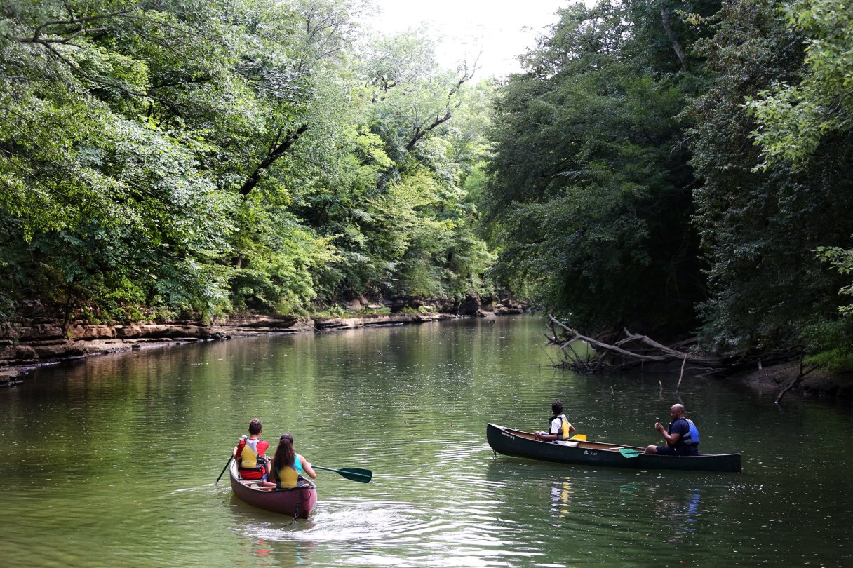
With its vast network of rivers and creeks, the Tennessee Valley is a mecca for paddlers. Options abound. In fact, it can be a little overwhelming. Where does one begin? How does one find the put-ins, or check the gauge to ensure the river is navigable?
For the past decade, local paddler Eric Fleming has been collecting data on local flatwater runs. Now, with the help of fellow Tennessee Valley Canoe Club member BG Smith, he has created the region’s first comprehensive map of water trails.
Inspired by the number of hiking trails located within a 15-minute drive of downtown, Fleming says, “That got me thinking about how many navigable miles of rivers and creeks there are that have [boat] access within an hour’s drive of downtown.”
The answer, he discovered, is about 380 miles, comprising 18 different rivers and lakes with a total of 270 access points.
The map features only waterways that are maintained, meaning they are less likely to have downed trees or log jams. Each put-in and takeout listed on the interactive map includes GPS coordinates, information on whether bathrooms are available, and whether or not powerboats are permitted.