
Saturday, October 31, 2026Oct 31

This story is free to read.

Another winter storm hits East Coast, cold temps coming

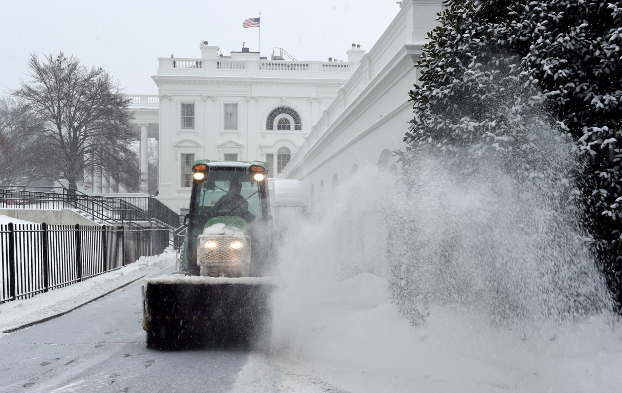
Snow is cleared on the North side of the White House in Washington, Saturday, Feb. 21, 2015. The National Weather Service is calling for 3 to 6 inches of snow and then a trace to a small amount of ice in the area. The cold ground is allowing snow to stick faster, making it difficult for road crews to keep up. (AP Photo/Susan Walsh)
Snow is cleared on the North side of the White House in Washington, Saturday, Feb. 21, 2015. The National Weather Service is calling for 3 to 6 inches of snow and then a trace to a small amount of ice in the area. The cold ground is allowing snow to stick faster, making it difficult for road crews to keep up. (AP Photo/Susan Walsh) Snow is cleared on the North side of the White House in Washington, Saturday, Feb. 21, 2015. The National Weather Service is calling for 3 to 6 inches of snow and then a trace to a small amount of ice in the area. The cold ground is allowing snow to stick faster, making it difficult for road crews to keep up. (AP Photo/Susan Walsh)

The latest in an unending parade of winter storms has arrived on the East Coast, dropping a wintry mix as far south as northern Georgia and potentially causing more headaches for weather-weary New England.

The National Weather Service said the storm was expected to bring a half-foot or more of snow to some areas in the Northeast by Sunday morning. And once it leaves, forecasters say another round of bitter cold temperatures will cover the region for most of the upcoming work week.

The storm was expected to move into the Ohio Valley on Saturday and make its way to the mid-Atlantic states before heading northward late Saturday night.

The dividing line appeared be the I-95 corridor. Areas west and north were expected to see mostly snow, while areas east and south were expecting a wintry mix.