
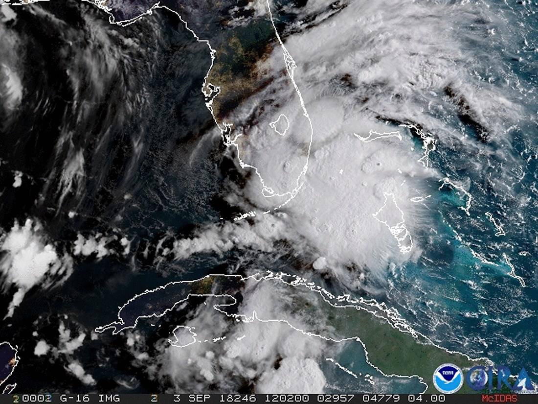
MIAMI BEACH, Fla. (AP) – Tropical Storm Gordon lashed South Florida with heavy rains and high winds on Monday and is expected to strengthen into a hurricane when it hits the central U.S. Gulf Coast.
Gordon formed into a tropical storm near the Florida Keys early Monday as it moved west-northwest at 17 mph (28 kph). The storm is expected to reach hurricane strength when it hits the Gulf Coast, including coastal Mississippi, by late Tuesday. From there, it is forecast to move inland over the lower Mississippi Valley on Wednesday.
The National Hurricane Center said at 8 p.m. EDT that the storm was centered 95 miles (150 kilometers) west of Fort Myers, Florida. Maximum sustained winds were clocked at 60 mph (95 kph).
A hurricane warning was put into effect for the area stretching from the mouth of the Pearl River in Mississippi to the Alabama-Florida border. As much as 8 inches (20 centimeters) of rain could fall in some parts of the Gulf states through late Thursday.
The Miami-based center said the storm is also expected to bring “life-threatening” storm surge to portions of the central Gulf Coast. A storm surge warning has been issued for the area stretching from Shell Beach, Louisiana, to Dauphin Island, Alabama. The warning means there is danger of life-threatening inundation. The region could see rising waters of 3 to 5 feet (0.9 to 1.5 meters).