
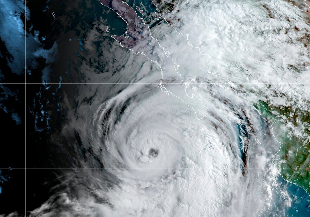
MEXICO CITY (AP) — Tropical Storm Kay appeared headed out to sea just short of the U.S. border Friday, after dumping heavy rains on a sparsely populated area of Mexico’s Baja California peninsula. While Kay is expected to continue weakening, it may still bring rain to southernmost California by the weekend.
The eye of Kay came ashore as a hurricane near Mexico’s Bahia Asuncion in Baja California Sur state Thursday afternoon, but by Friday it was a tropical storm with maximum sustained winds of 50 mph (80 kph).
Kay was located about 195 miles (315 kilometers) south-southeast of San Diego, California and was moving north-northwest at 13 mph (20 kph). But the storm was expected to start a turn to the west that would take it further out into the Pacific.
The U.S. National Hurricane Center in Miami said there was a chance the outer bands of the big storm could bring heavy rain — and possibly flash floods — to parts of parched Southern California and southwestern Arizona on Saturday.
The Center said “flash, urban, and small stream flooding is likely across Southern California beginning today, especially in and near the peninsular ranges. Flash, urban, and small stream flooding is possible beginning later today in Southwest Arizona.”