
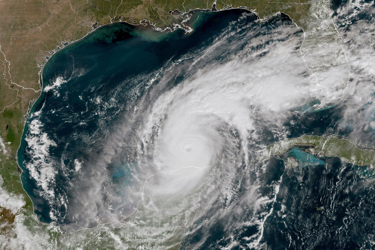
TAMPA, Fla. (AP) — Hurricane Milton churned Wednesday toward a potentially catastrophic collision along the west coast of Florida, where some residents insisted they would stay after millions were ordered to evacuate and officials warned that stragglers would face grim odds of surviving.
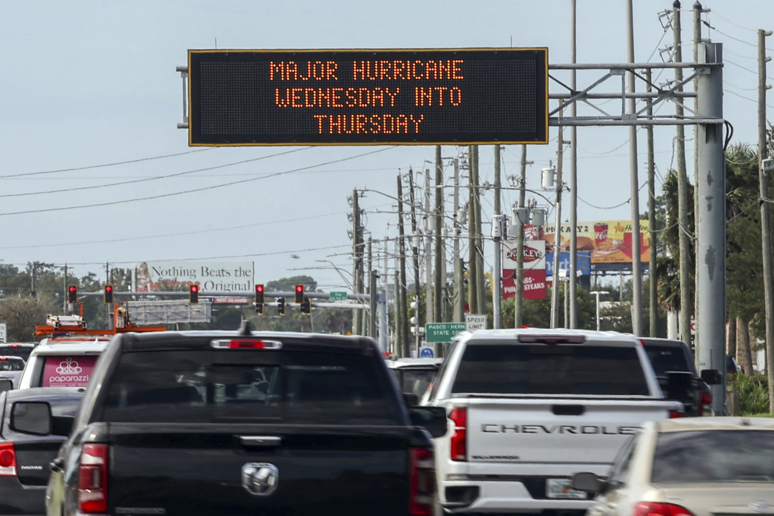
The Tampa Bay area, home to more than 3.3 million people, faced the possibility of widespread destruction after avoiding direct hits from major hurricanes for more than a century. The National Hurricane Center predicted Milton, a Category 5 hurricane during much of its approach, would likely weaken but remain a major hurricane when it makes landfall late Wednesday or early Thursday.
“Milton has the potential to be one of the most destructive hurricanes on record for west-central Florida,” the center warned.
Milton was centered about 300 miles (485 kilometers) southwest of Tampa early Wednesday with maximum sustained winds of 160 mph (260 kph), the hurricane center reported. It was moving northeast at 14 mph (22 kph) early Wednesday and was expected to continue moving in that direction with an increase in its forward speed through Wednesday night, with landfall expected late Wednesday or early Thursday morning. It was expected to turn toward the east-northeast and east on Thursday and Friday.
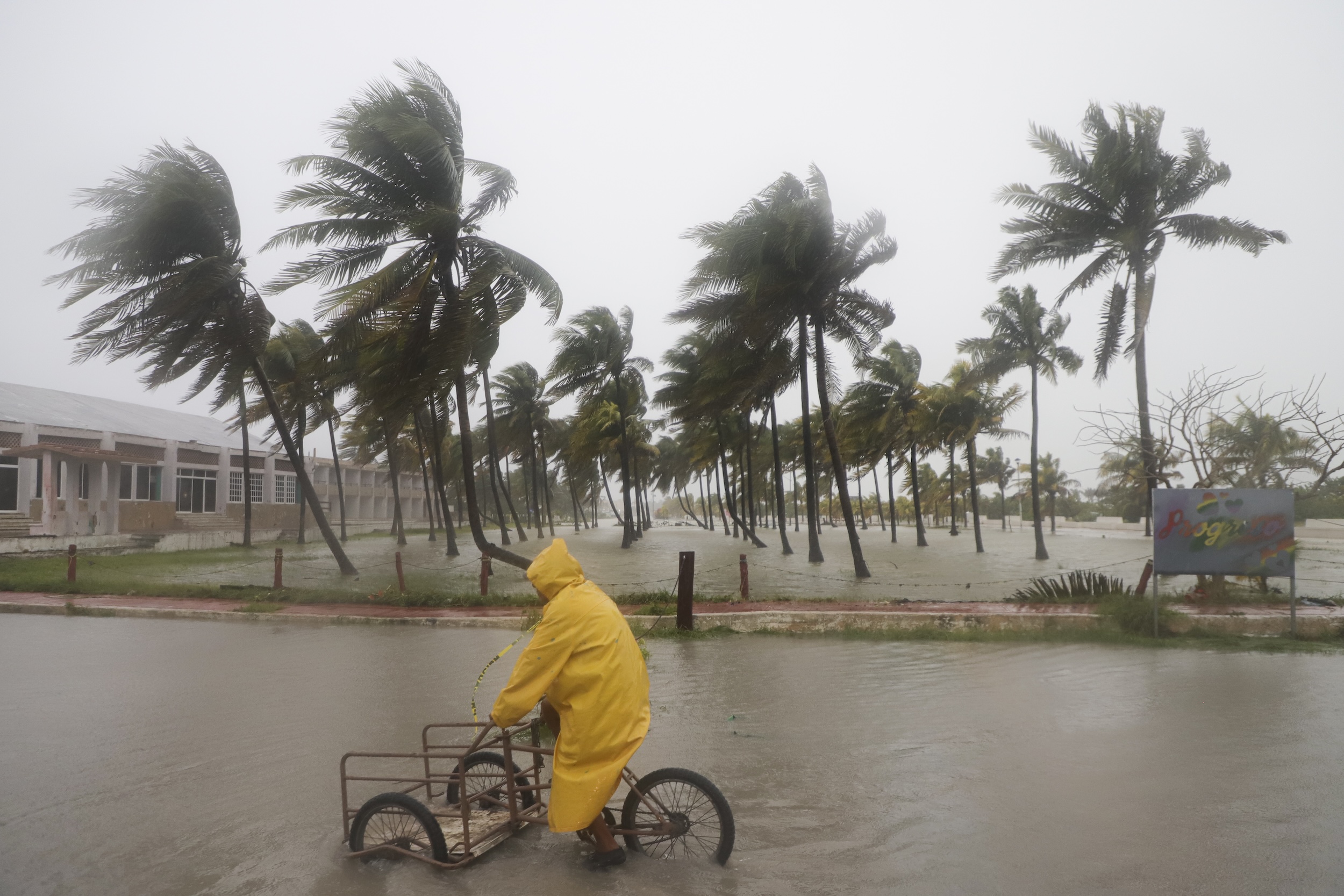

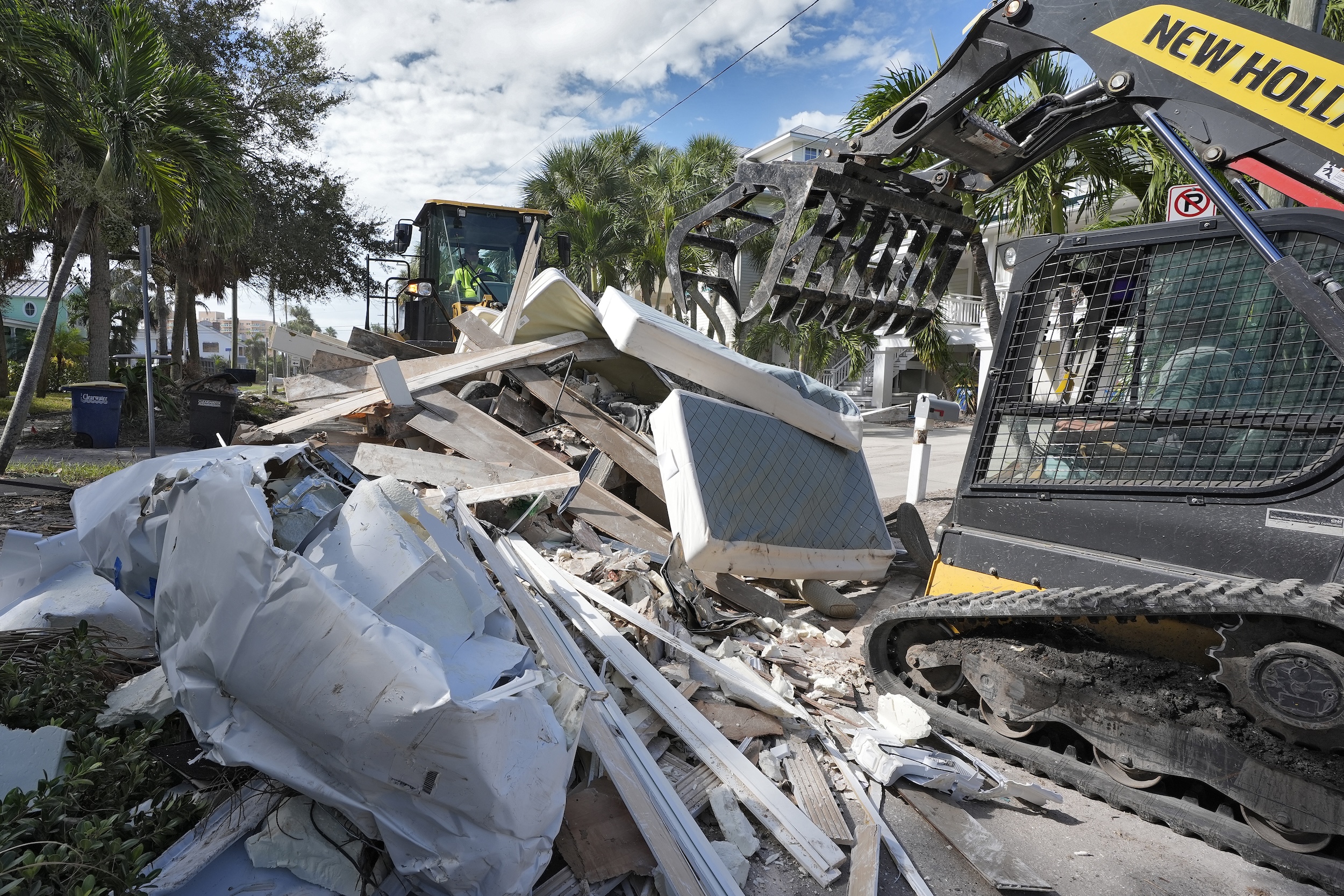

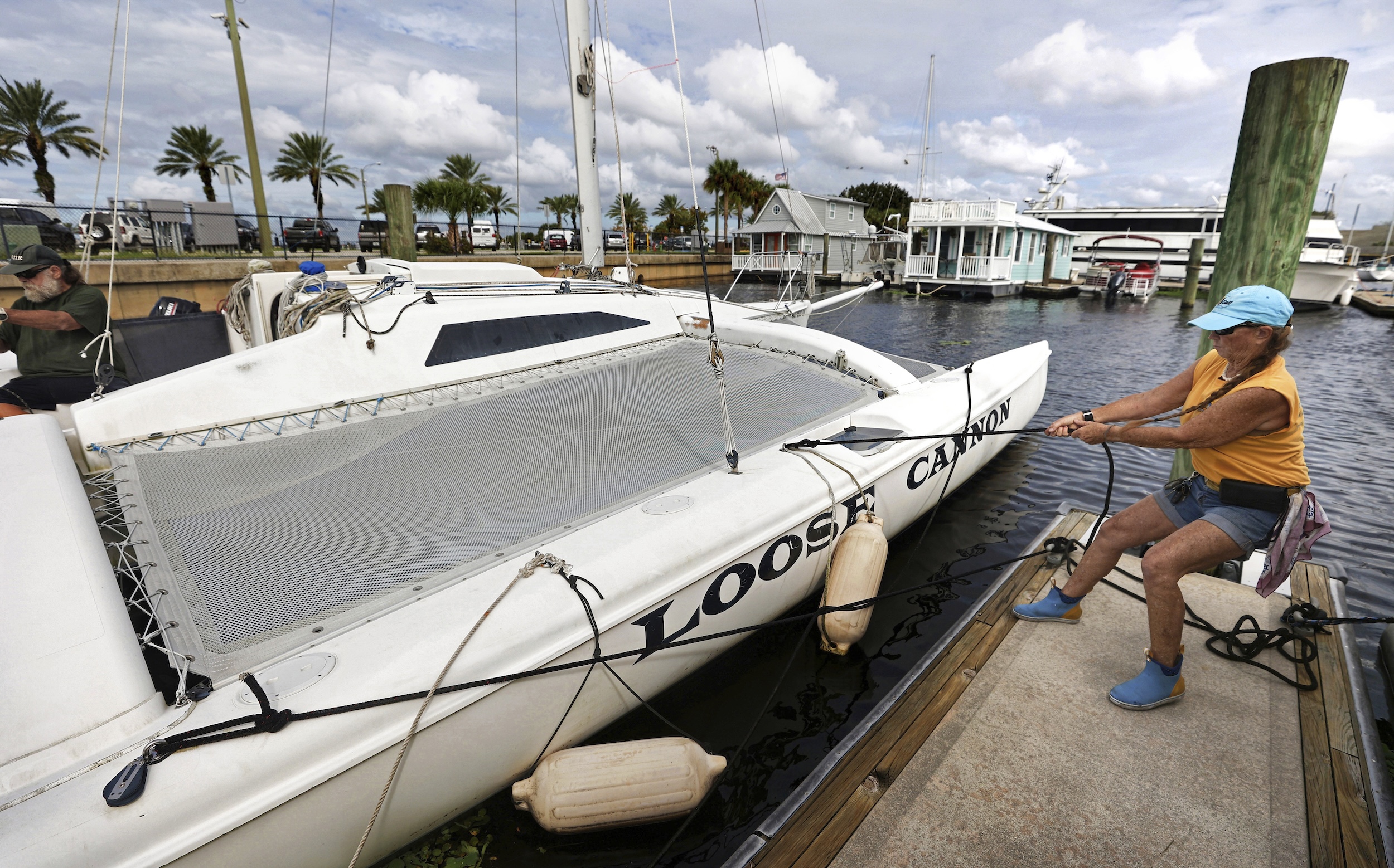
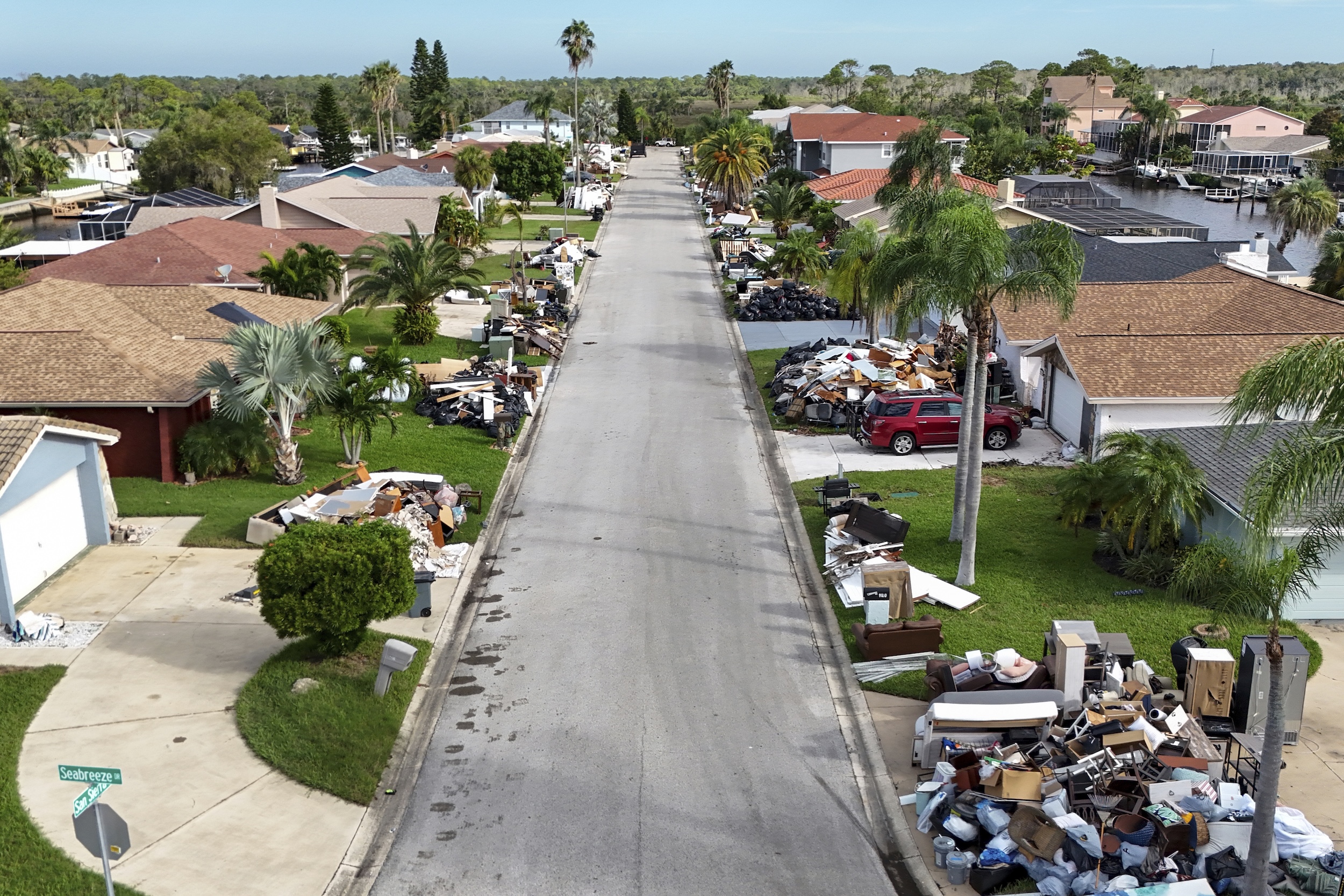
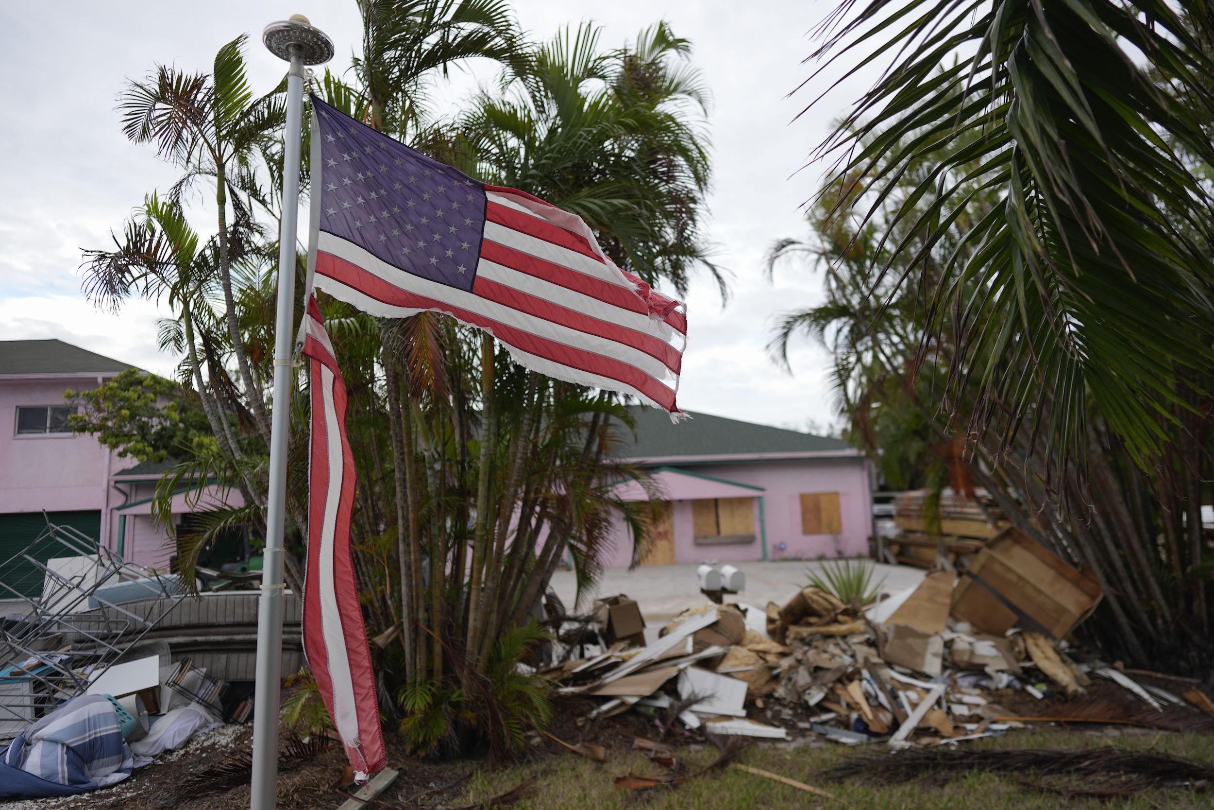
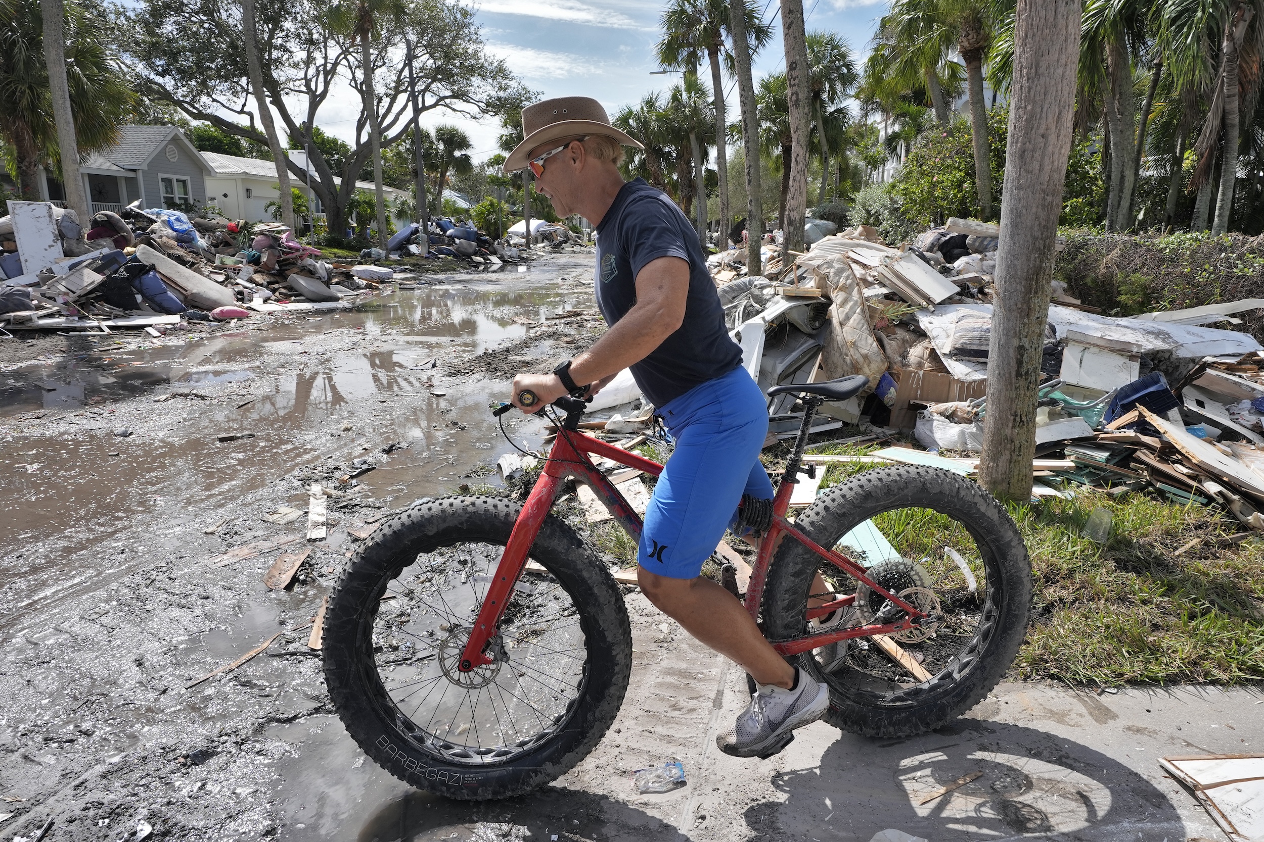
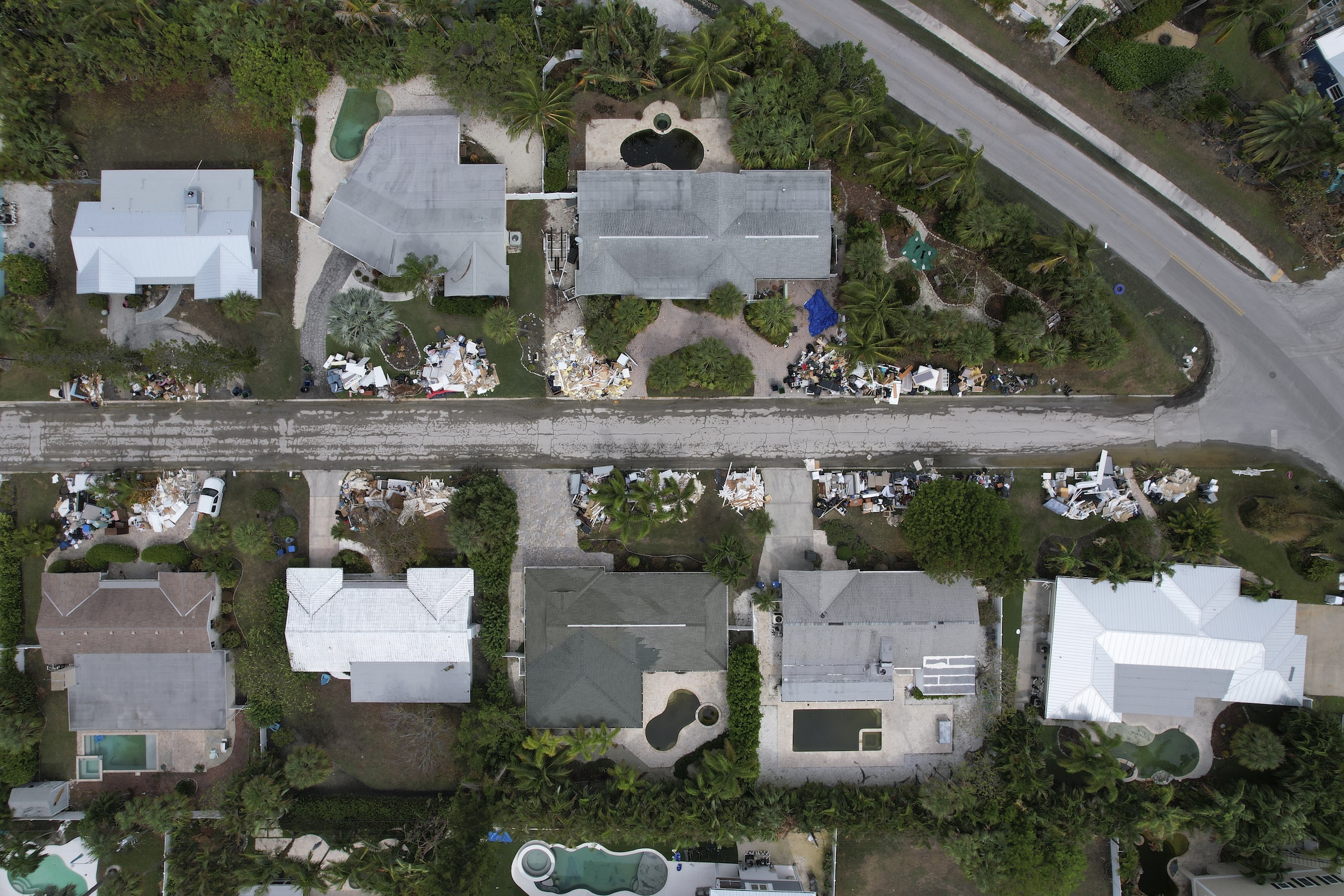







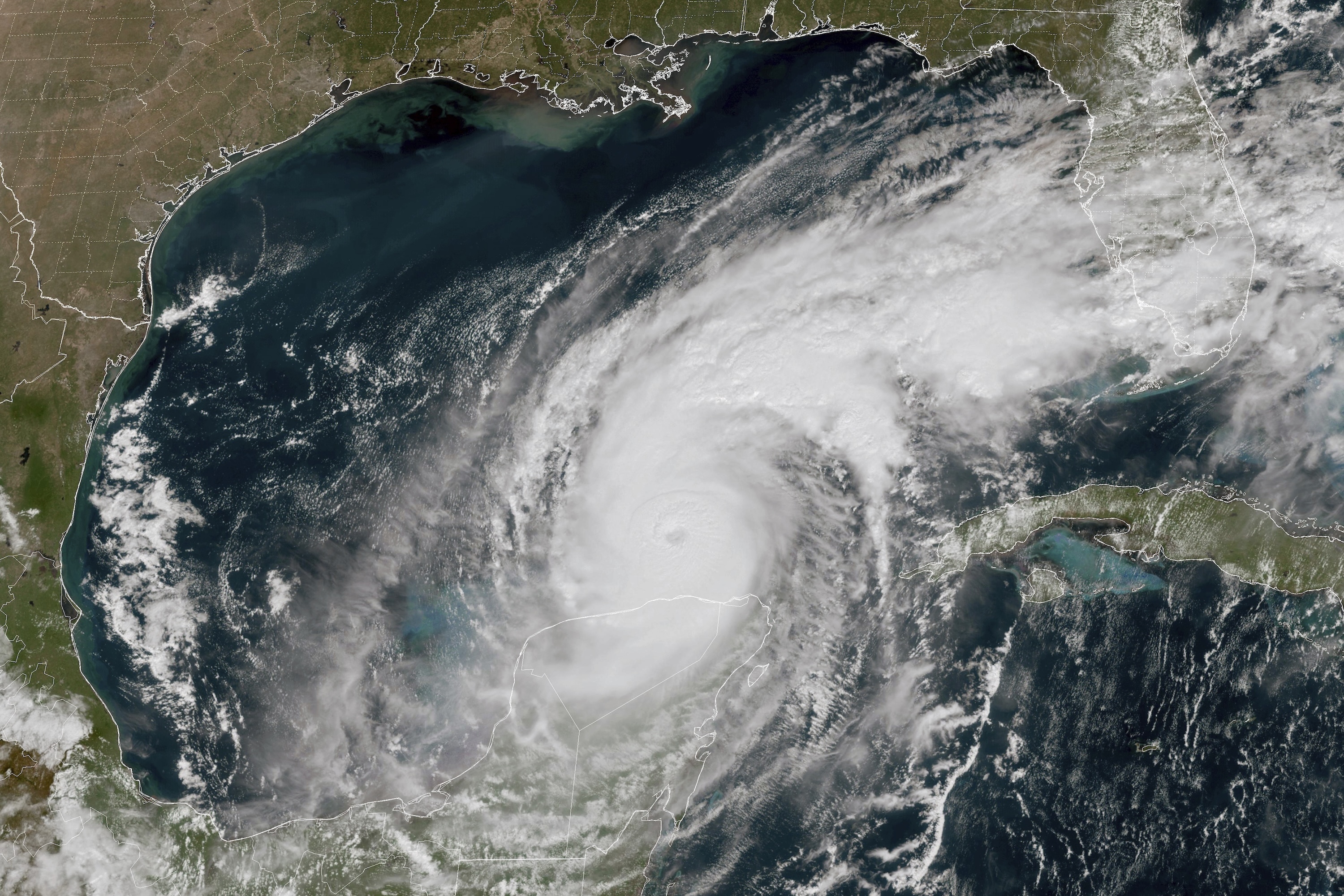

Heavy rain was beginning to spread across parts of southwestern and west-central Florida ahead of Milton early Wednesday, and weather conditions were expected to deteriorate across parts of the Florida Gulf Coast throughout the day, the center said. Six to 12 inches (15 to 31 centimeters) of rain, with localized totals up to 18 inches (46 centimeters), were expected across central to northern portions of Florida through Thursday, bringing the risk of catastrophic and life-threatening flash and urban flooding, and moderate to major river flooding. Several tornadoes were likely Wednesday across parts of central and southern Florida.