
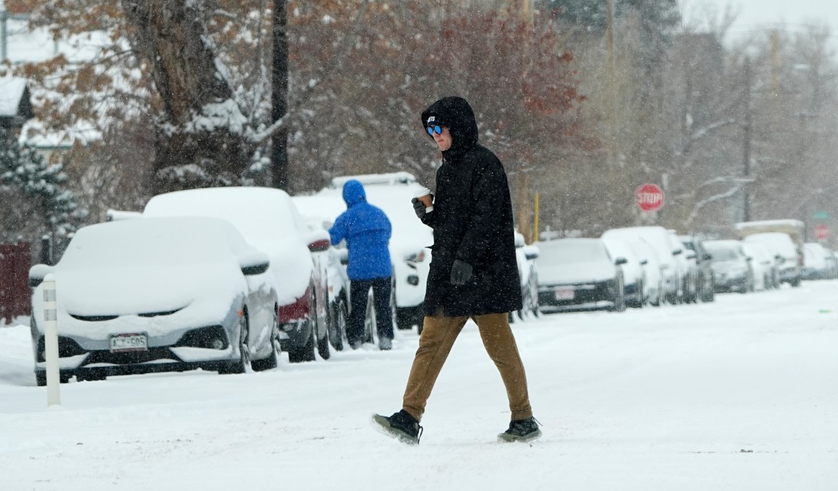
BOSTON (AP) — Tens of millions of residents along the East Coast are bracing for several inches of snow Sunday followed by dangerously cold temperatures that will take hold in much of the country from the Northern Plains to the tip of Maine.
Winter storm warnings issued by the National Weather Service have already gone into effect for parts of the Mid-Atlantic through Monday morning, with the forecast projecting up to a half-foot (15 centimeters) of snow. Warnings will begin in New England on Sunday afternoon, with parts of Massachusetts, New Hampshire, Maine and Connecticut seeing as much as 10 inches (25 centimeters) of snow.
Marc Chenard, a meteorologist with the National Weather Service in College Park Maryland, projected that as many as 70 million residents will be under some kind of winter storm hazards warning in the coming days including in New England and the Mid-Atlantic. Large cities like Philadelphia, New York and Boston could see several inches of snow this evening with the highest totals being outside of major cities.
“There will certainly be some more hazardous road conditions anywhere from D.C. up the whole I-95 corridor and then inland from there later today and tonight,” Chenard said. “Then it gets quite cold behind that. By Monday morning, any roads that haven’t been treated or cleared will still likely be some hazardous travel conditions.”