
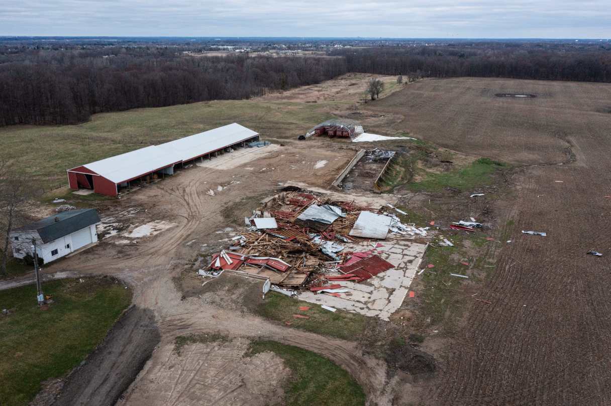
Potentially deadly flash flooding, high-magnitude tornadoes and baseball-sized hail could hit parts of the Midwest and South on Wednesday as severe thunderstorms blowing eastward become supercharged, forecasters warned.
There were already tornado warnings Wednesday morning near the Missouri cities of Joplin and Columbia — merely the opening acts of what forecasters expect will be a more intense period of violent weather later Wednesday, as daytime heating combines with an unstable atmosphere, strong wind shear and abundant moisture streaming into the nation’s midsection from the Gulf.
The potent storm system will bring “significant, life-threatening flash flooding” starting Wednesday and continuing each day through Saturday, the National Weather Service said.
With more than a foot (30 centimeters) of rain possible over the next four days, the prolonged deluge “is an event that happens once in a generation to once in a lifetime,” the weather service said in one of its flood warnings. “Historic rainfall totals and impacts are possible.”