
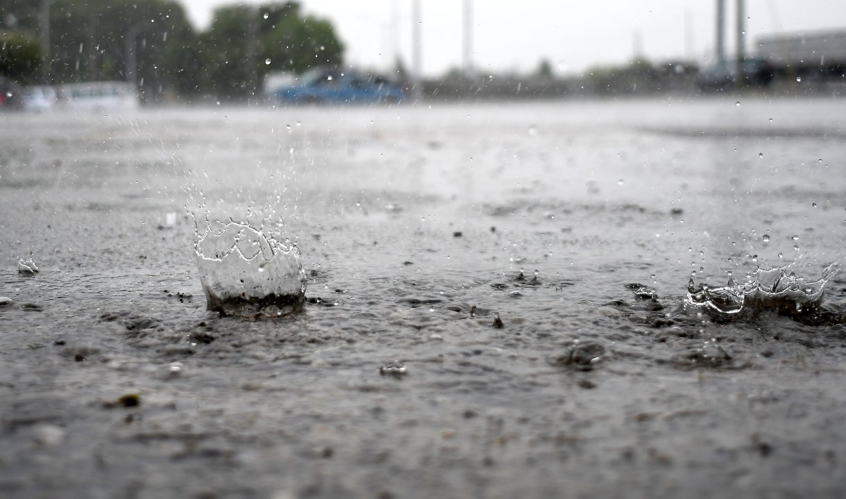

The Chattanooga area on Sunday got more than half the normal precipitation total for April, according to the National Weather Service.
The slow-moving system dumped rain on West Tennessee over several days before inching its way into East Tennessee on Sunday, according to Kyle Snowdin, meteorologist with the National Weather Service office in Morristown, Tennessee.
“I’m looking at 2.71 for Sunday rainfall, which was actually a daily record. It’s the most that has fallen on April 6 in the Chattanooga area at one time,” Snowdin said by phone. “It looks like the previous record had been 2.1 in, and that was all the way back in 1892. So it was a pretty long-standing daily record.”
(READ MORE: Emergency, weather officials push severe weather awareness as storm season approaches)
Sunday’s rainfall total was more than half the normal for the month of 4.87 inches of rain, he said. As the rainy system moved east, the rains began to taper off approaching Interstate 75.
Areas west of Interstate 75 saw 1 to 3 inches, while further east, the total was more like an inch or slightly less, Snowdin said.
South Chickamauga Creek crested Monday, he said, so flooding worries should lessen.
“We’ll continue to kind of keep an eye on that,” he said. “Otherwise we do have a flood advisory out, I believe in Southwest North Carolina where we have a gauge that is in action stage and then over up here in Sevier County, that’s the only spot where we have a few reports of some rivers running high, but otherwise we were spared across most our forecast area.”
(READ MORE: ‘Life-threatening cold’ hits parts of US following deadly weekend flooding)
The region should dry out for a day or two, he said.
“The main weather focus here over the next two days is going to be the colder temperatures, particularly in the morning hours,” Snowdin said. “Tuesday morning, it will probably fall around 40 degrees, and then Tuesday night into Wednesday morning will probably fall maybe just slightly above freezing.”
The rains brought some good news to East Tennessee as drought conditions were quenched by the weekend downpour, according to the Tennessee Climate Office’s weekly report. Prior to Sunday’s quenching rains, East Tennessee still had more than a dozen counties with abnormally dry conditions.
Snowdin said Sunday’s rain should clear dry conditions in Tennessee from the drought map when the U.S. Drought Monitor is released Thursday.
Contact Ben Benton at bbenton@timesfreepress.com or 423-757-6569.