
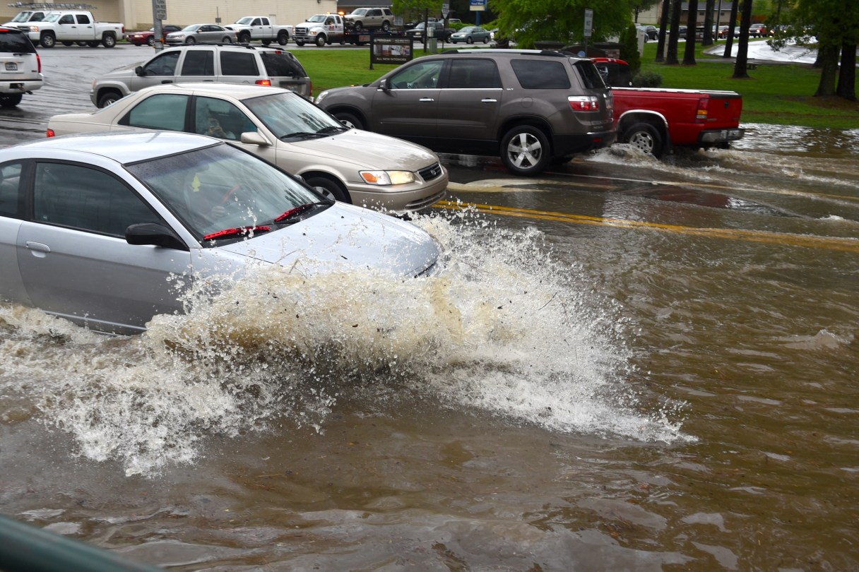
The Chattanooga region could see some heavy rain this week with flooding possible in some areas.
A flood watch is in effect for Hamilton, Bledsoe, Marion, Meigs, Rhea and Sequatchie counties from 7 p.m. Wednesday to 7 p.m. Thursday, according to the National Weather Service in Morristown, Tenn.
WHAT IS A FLOOD WATCH?
A flood watch means that conditions are favorable for heavy rain, which may lead to flooding in and near the watch area.
More than two inches of rain is expected across areas within the flood watch with locally higher amounts of up to three inches possible.
“Due to the overall wet month had so far, this additional rainfall may cause flooding of creeks and streams, as well as low-lying areas,” according to an alert from the National Weather Service.
Afternoon temperatures will be fairly mild in the upper 50s and low 60s both days, according to WRCB meteorologist David Karnes.
The National Weather Service urges residents to be alert for rising water or water over roadways. “If you come to a closed or flooded road turn around. Don’t drown.”