
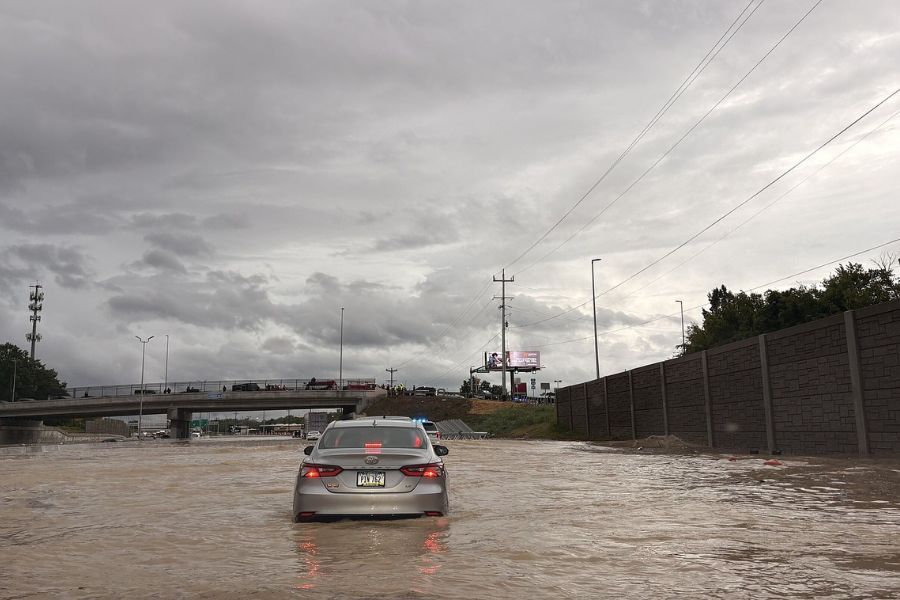

The rain that poured Tuesday on Chattanooga, flooding the interstate, forcing dramatic rescues and causing four fatalities, was the city’s second-highest rainfall amount in a single day in recorded history going back to 1879.
The city received around 6.4 inches of rain measured at the Chattanooga Airport, said David Hotz, a meteorologist at the National Weather Service office in Morristown, which covers East Tennessee.
The record one-day rainfall is 9.49 inches from the remnants of Tropical Storm Lee on Sept. 5, 2011, according to the service’s historical data.
(READ MORE: Yes, deadly floods are possible in Chattanooga)
What made Tuesday’s flooding so damaging was its rapid pace, Hotz said. The bulk of the rain fell in just two-three hours, from around 5:30 to 8:30 p.m.
“The rainfall rate was incredible,” Hotz said in a phone interview. “That’s going to overwhelm any type of drainage systems that you have across the region.”
The National Weather Service has software that can track possible impacts on drainage. It issued its first flash flood warning for Hamilton and Bradley counties around 5:50 p.m., Hotz said.
For 24 hours before the storm, there was an influx of moisture to the Tennessee Valley and Southern Appalachia from a tropical system above the Gulf of Mexico, Hotz said. The amount of water in the air being pulled into storms is approaching its highest levels ever.
“The moisture availability is essentially almost near its maximum, historically,” Hotz said.
(SIGN UP: Get breaking news in your inbox as it happens by going to timesfreepress.com/breaking)
The National Weather Service has a flood watch in place for Chattanooga until 8 p.m. Wednesday and a flash flood warning for Marion County.
It forecasts new rainfall between 1-2 inches Wednesday with showers mainly before 5 p.m. The situation could become dangerous again quickly, and residents should pay attention to warnings, Hotz said.
“It’s not going to take too much more rainfall to get things flooding again,” Hotz said. “If you have an area that floods quickly, you might want to consider maybe getting out of that situation, getting to higher ground.”
RAINY YEAR
Since Jan. 1, Chattanooga has received 44.75 inches of rain, nearly 10 inches more than what the city would typically receive in that time period, which is around 34.99 inches, Kotz said. The city averages 55 inches of rain a year.
Since June 1, the city has received 13.81 inches of rain, a little more than 3 inches higher than the normal rainfall for the same period.
The record year for rainfall in Chattanooga was 1994, when the city got 73.7 inches, according to the National Weather Service. The record rainfall for a single month was March 1980, when the city got 16.32 inches.
Chattanooga has already set some rainfall records or near records this year.
The city received 2.71 inches on April 6, the highest rainfall for that day in history, and more than half what Chattanooga typically receives in the entire month of April.
Chattanooga received 12.02 inches of rain in May, making it the wettest May on record.
Note: This story was updated at 2:35 p.m. on Aug. 13 to correct the spelling of David Hotz.
Contact business reporter Daniel Dassow at ddassow@timesfreepress.com or 423-757-6318.
AREA CLOSINGS AND DELAYS