
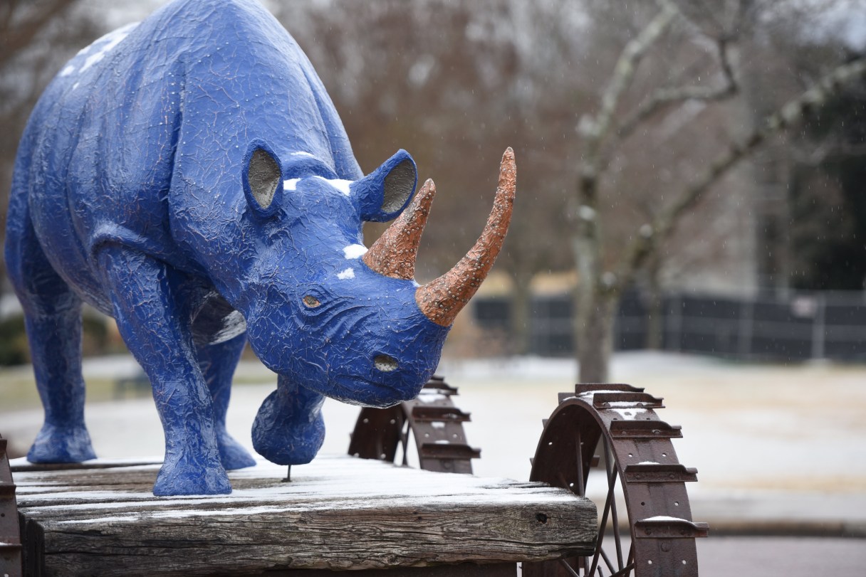

Winter weather Round 2, and some people probably still have leftover milk and bread.
Hamilton and Sequatchie counties have been added to a winter weather advisory for potential snowfall ranging from a dusting to 3 inches by Saturday night as another winter system brings Old Man Winter back to the Chattanooga region.
Most significant snowfall is forecast for the mountains of East Tennessee, according to the National Weather Service, but the lower Tennessee Valley is in line for possible accumulations.
The forecast calls for up to a half-inch of snow in metro Chattanooga going through Saturday night, the weather service said, while higher elevations around the city and communities such as Dayton and Cleveland could get an inch.
Predicted accumulations increase to 2 to 6 inches for the Appalachian Mountains in eastern Polk County and Monroe County, according to the weather service. At the highest elevations, such as Gatlinburg, Tennessee, accumulations could total up to a foot of snow, with snowfall totals in Northeast Tennessee ranging from 7 to 9 inches in Morristown, Greeneville and Johnson City.