
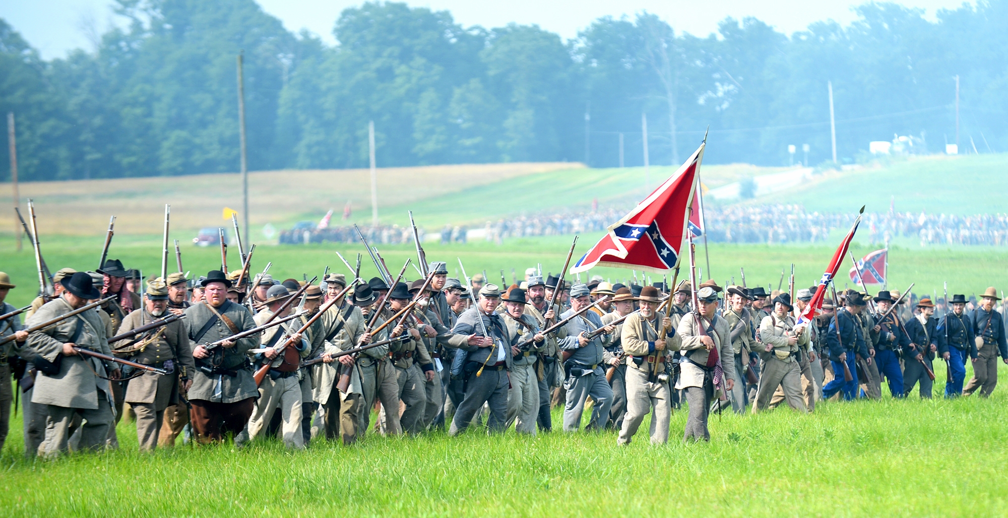
 The Confederate line advances during ongoing activities commemorating the 150th anniversary of the Battle of Gettysburg on Friday at Bushey Farm in Gettysburg, Pa. Union forces turned away a Confederate advance in the pivotal battle of the Civil War fought July 1-3, 1863, which was also the war’s bloodiest conflict with more than 51,000 casualties.
ONLINE
Smithsonian interactive map: http://bit.ly/1crQWYd
GETTYSBURG, Pa. – On the second day of fighting at Gettysburg, Confederate Gen. Robert E. Lee listened to scouting reports, scanned the battlefield and ordered his second-in-command, James Longstreet, to attack the Union Army’s left flank.
It was a fateful decision, one that led to one of the most desperate clashes of the entire Civil War – the fight for a piece of ground called Little Round Top. The Union’s defense of the boulder-strewn promontory helped send Lee to defeat at Gettysburg, and he never again ventured into Northern territory.
Why did the shrewd and canny Lee choose to attack, especially in the face of the Union’s superior numbers?
While historians have long wrestled with that question, geographers and cartographers have come up with an explanation, by way of sophisticated mapping software that shows the rolling terrain exactly as it would have appeared to Lee: From his vantage point, he simply couldn’t see throngs of Union soldiers amid the hills and valleys.