
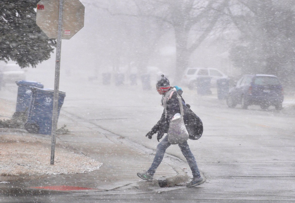
CHICAGO (AP) – The Latest on the winter storm moving through parts of the Midwest (all times local):
10:40 a.m.
High winds from a winter storm have caused the surface of the Saginaw River in Michigan to flow backward.
The river typically empties at Bay City into the Saginaw Bay of Lake Huron, but The Bay City Times reports it appeared to be moving in the opposite direction Wednesday morning. The National Weather Service says winds were blowing from the north around 26 mph with gusts up to 37 mph.
As a result, the river’s level also has risen. Still, officials say it remains well below flood stage.
Along the western portion of the state, winds off Lake Michigan were expected to create waves building to 11 feet by Wednesday night. Gale warnings were issued. Away from shore in Lake Michigan, forecasters say waves of 20 to 25 feet are possible.
9:30 a.m.:
A number of events are being postponed or canceled in parts of Michigan as a winter storm bears down on the state.
Flint Mayor Karen Weaver said Wednesday that due to the storm, she was postponing a Thursday meeting with residents about the city’s lead-tainted water crisis.
The Flint & Genesee Chamber of Commerce’s also moved its ninth annual Jumpstart Conference from Thursday to March 4 due to the storm.
The National Weather Service says Flint could get at least 8 inches of snow. Officials are warning people to stay off the roads if possible as the weather worsens.
Some schools also are closed for the day Wednesday.
7:45 a.m.
Airlines are pre-emptively canceling hundreds of flights at Chicago’s two airports as a powerful storm takes aim at parts of the Midwest and Great Lakes region.
As of Wednesday morning, nearly 900 flights in and out of Chicago were cancelled. That’s according to the aviation tracking website FlightAware.com. The vast majority of the cancellations were at O’Hare International Airport, which serves as a major hub for both United and American Airlines.
Other airports in the path of the storm, including in St. Louis and Detroit, showed no significant disruption.
Forecasters say the storm could dump 12 to 18 inches of snow along Indiana’s coast of Lake Michigan. Motorists are being warned of zero visibility at times on roadways.
___
7 a.m.
A winter storm moving across the Midwest has dumped several inches of snow on the St. Louis metropolitan area, left thousands without power and caused many school districts to cancel classes.
The St. Louis Post-Dispatch (http://bit.ly/1mXflAI ) reports that about 3 inches had fallen in the St. Louis metropolitan area by 6 a.m. Wednesday. National Weather Service forecasters are predicting another 3 to 4 inches of snowfall in the area before the storm winds down this afternoon.
Wind gusts of up to 45 mph are making driving hazardous. Visibility was down to about a half-mile in some areas.
Ameren is reporting downed power lines and blown transformers. The utility says more than 17,000 customers are without power on the Missouri side and 9,000 on the Illinois side of the metro region.
___
6:45 a.m.
A powerful storm is moving through parts of the Midwest and could dump as much as 18 inches of snow on some areas before it’s finished.
The National Weather Service issued winter weather warnings Wednesday for an area stretching from Missouri northeast through Illinois, Indiana and Michigan, with blizzard warnings for counties in eastern Illinois and northwestern Indiana.
Forecasters say the storm could dump 12 to 18 inches of snow on parts of Indiana along the coast of Lake Michigan. Flint, Michigan, is expected to get 8 to 12 inches of snow. Motorists are being warned of zero visibility at times on roadways.
Chicago is preparing to deploy 140 snowplows to clear roads during the evening rush hour. Wind gusts of up to 50 mph are expected in areas.
___
6:40 a.m.
Some schools closed in Michigan ahead of a winter storm that could bring a foot of wet, heavy snow to parts of the Lower Peninsula.
The National Weather Service says a storm system is moving Wednesday into the state, bringing rain that’s expected to change into snow. The storm is expected to intensify later Wednesday and leave the highest snow amounts in the state’s Thumb region.
Flint could get at least 8 inches. The city is facing a crisis with lead-tainted water and officials urged residents to make sure they have enough filters, cartridges and bottled water on hand.
In parts of southwestern and mid-Michigan, 8 to 10 inches is possible. In the Detroit area, 1 to 4 inches is expected Wednesday followed by 1 to 3 inches into Thursday.
___
6:40 a.m.
Up to 18 inches of snow is forecast for Indiana’s Lake Michigan shores as a winter storm is expected to bring blizzard conditions to the state.
The National Weather Service early Wednesday had blizzard warnings in effect for northwest Indiana and winter storm warnings issued for areas including Crawfordsville, Kokomo and Logansport.
The harshest weather though was expected along the Lake Michigan coast from Gary to the Michigan border. Forecasters said blizzard conditions are likely mid-morning through early evening with wind gusts of 40 to 50 mph. They warned motorists of zero visibility on roadways and white-out conditions.
A winter weather advisory was in effect Wednesday for areas south of the storm, including Vincennes northeast to Terre Haute, Indianapolis and Marion.
___
6:30 a.m.
A winter storm moving across Illinois is forecast to bring as much as 9 inches of snow to areas of the state.
The National Weather Service early Wednesday issued winter storm warnings stretching from St. Louis north to the Chicago area, including central and southeastern Illinois. Blizzard warnings were in effect from north of Vandalia to Champaign and north to Kankakee. The northwestern parts of the state looked to be unaffected.
The warnings were to expire by 9 p.m. on Wednesday.
Forecasters warned of hazardous driving conditions, citing strong winds gusting up to 50 mph and locally heavy snowfall.
In Chicago, the city said it was preparing its fleet of 140 snow plows for a winter storm that was expected to affect rush hour traffic.