
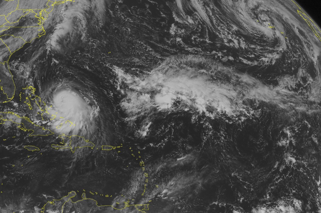
MIAMI — Hurricane Joaquin intensified Wednesday as it approached the small, sparsely populated islands of the eastern Bahamas on a projected track that would take it near the East Coast of the U.S. early next week.
Maximum sustained winds reached 85 mph (135 kph) and extended 35 miles (55 kilometers) from the center of the storm over the Atlantic Ocean, according to the U.S. National Hurricane Center in Miami, which predicted that Joaquin would develop into a major hurricane in the coming days.
Authorities in the Bahamas prepared for a brush with the storm. With the center expected to pass near several eastern islands before heading northwest. Forecasters were still gathering data to determine how it would affect the U.S.
“We’ve got Air Force reconnaissance planes continuously giving us data from inside the hurricane this morning, and we’re going to be throwing a lot more aircraft resources at this problem over the next few days because it still is not certain whether or not Joaquin will directly impact the U.S. East Coast or stay out to sea,” said Rick Knabb, director of the National Hurricane Center.
The hurricane was expected to pass near the islands of San Salvador, Cat Island, Eleuthera and Rum Cay late Thursday and Friday, close enough that it could bring tropical-storm-force winds, storm surges, coastal flooding and 5-10 inches (13-25 centimeters) of rain, said Geoffrey Greene, a senior forecaster with the Bahamas Meteorology Department.