
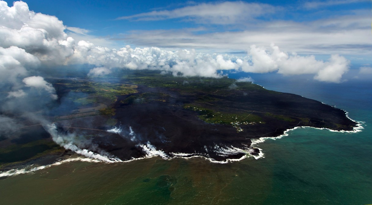
HONOLULU (AP) – Lava from the Kilauea volcano that flowed into Kapoho Bay has created nearly a mile of new land and officials with the U.S. Geological Survey said Thursday the flow is still very active and there’s no way to know when the eruption will end or if more lava-spewing vents will open.
The fast-moving lava poured into the low-laying coastal Hawaii neighborhoods in just two days this week, destroying hundreds of homes.
“Lava continues to enter the ocean along a broad front in Kapoho Bay and the Vacationland area and it continues to creep north of what remains of Kapoho Beach Lots,” said USGS geologist Janet Babb.
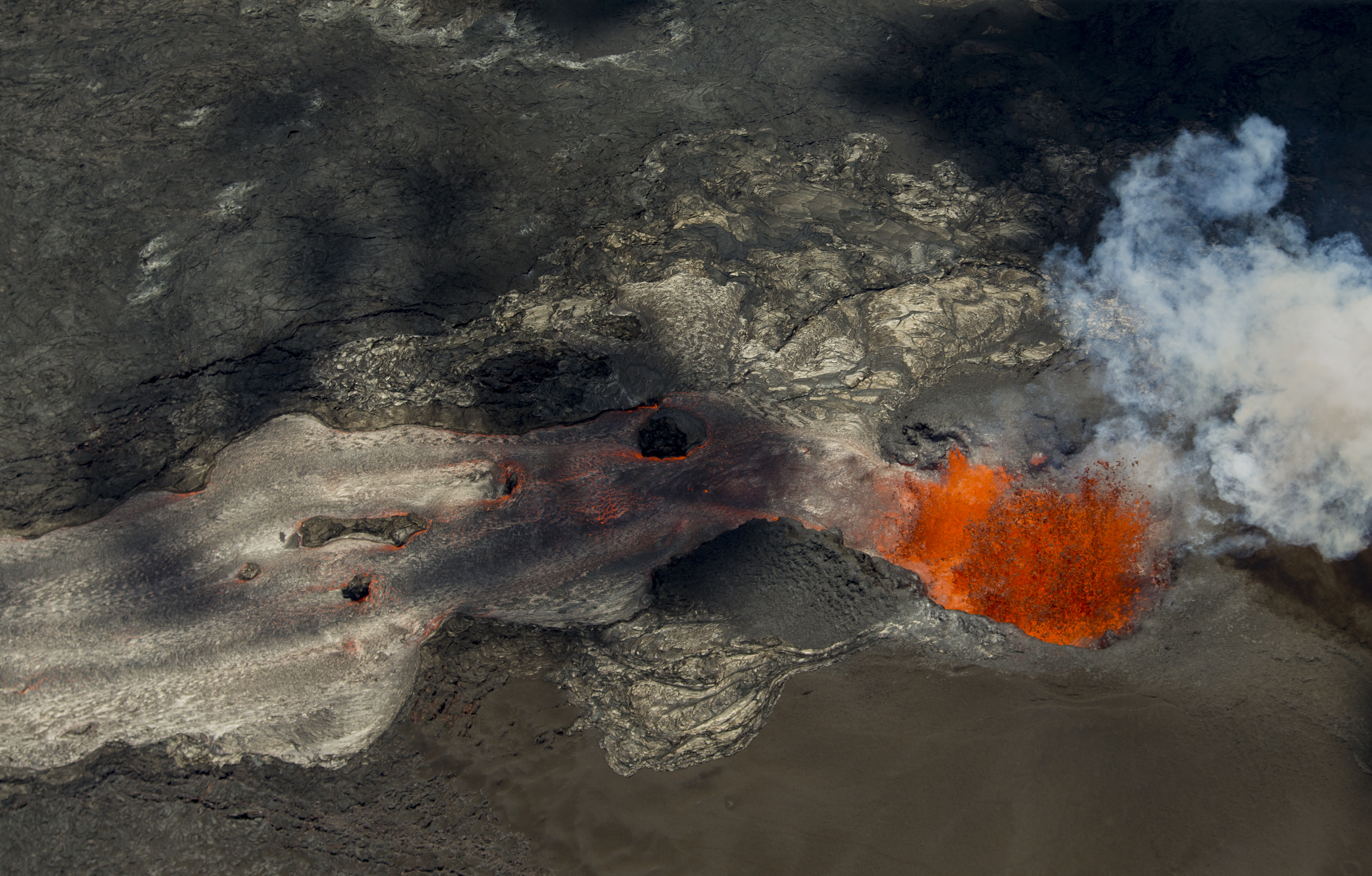 A fissure continues to blast fresh lava several hundred feet in the air and flow towards Kapoho as the Kilauea Volcano lower east rift zone eruption continues on Wednesday, June 6, 2018, in Pahoa, Hawaii. (AP Photo/LE Baskow)
As the lava marched toward the bay, it vaporized Hawaii’s largest freshwater lake, which was hundreds of feet deep in some places. The new land in Kapoho Bay is now owned by the state, but the peninsula won’t look like the farmland that dominates that region of the Big Island anytime soon.
Depending on climate, rainfall and other variables, new vegetation could start growing soon, but it would take much longer for the fertile land and lush rainforests to build back up.