
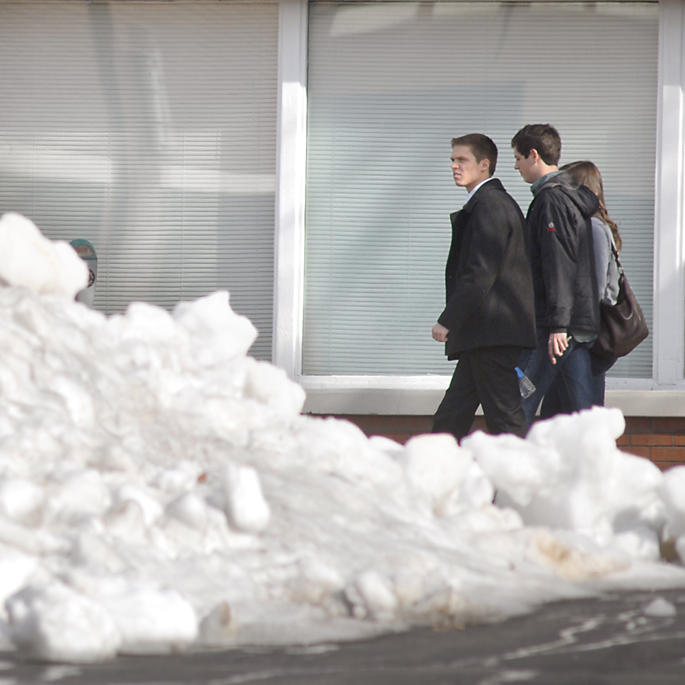
 Pedestrians walk past a large pile of unmelted snow in a Republic parking lot at the corner of 10th and Market Streets in downtown Chattanooga in January.
Computer models, woolly worms and astronomical forecasters agree: Tri-state residents will be colder in a few months than they are right now.
But beyond that, forecasts vary from snowy and icy to dry and mild, with some calling for a one-two punch of frigid air with a mild lull in the middle.
The National Weather Service Climate Prediction Center gives the tri-state area a equal chance of having an abnormally warm or cold winter. The center gives the region an above-normal chance for a wetter-than-average year.
Much of the center’s work hinges on water temperatures in the Pacific Ocean, which influences the route the jet stream takes when moving air from west to east over the country. Warm Pacific water causes an effect known as El Nino, while cooler water causes La Nina. This year’s pattern appears to be La Nina, which Weather Service experts say usually means a mild winter.
“La Nina also often brings colder winters to the Pacific Northwest and the northern Plains, and warmer temperatures to the Southern states,” Mike Halpert, deputy director of the Climate Prediction Center, stated in a news release last month.