
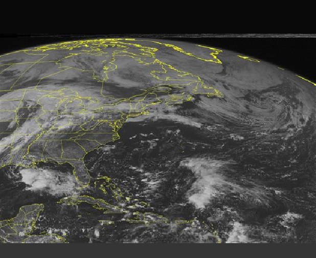
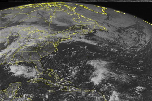
 This NOAA satellite image taken Saturday, October 5, 2013 at 1:45 PM EDT shows clouds extending across the northern portions of the region due to a stationary frontal boundary with some rain and thunderstorms.
NEW ORLEANS – Karen lost more of its punch late Saturday and fell below tropical-storm status while stalling off the Louisiana coast.
Even as a tropical depression with top sustained winds of 35 mph (55 kph), the system threatened to bring strong wind and heavy rain to vulnerable low-lying areas. However, all watches and warnings were discontinued along the Gulf Coast.
The National Weather Service said Saturday evening that the system was stationary but expected to move across or near the southeast Louisiana coast late Saturday or early Sunday, then track eastward and lose strength. It spent Saturday either stalled or moving slowly.
Karen was centered about 185 miles (295 km) southwest of the mouth of the Mississippi River.
Forecasters expected for there to be little change in the system’s strength over the next 24 hours and that it would turn into a remnant Monday.