
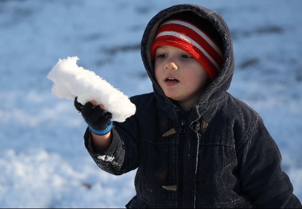
 Isaiah Rinckey, 2, looks at some snow in his hand before taking a bite while playing in the snow with his brothers and sister on Feb. 13, in Signal Mountain. The siblings built a snowman and had snowball fights in their day off of school.
 Cody Wright, 6, propels himself with sticks while riding his skateboard in North Chattanooga late last week.
After spring weather warmed the Tennessee Valley over the weekend and persisted for a pleasant Monday, thoughts drifted to flowers, baseball games and the other rewards of surviving an unusually cold winter.
Not snow fast.
The National Weather Service issued a forecast Monday indicating that wintry precipitation is possible early Wednesday.
With a high temperature of 40 degrees and winds expected up to 20 mph, Wednesday could more closely resemble January than March, despite the sunshine and highs near 70 degrees of the last few days.
But WRCB-TV chief meteorologist Paul Barys said he is doubtful that any snowfall will accumulate just two weeks after strands of the polar vortex brought 6-8 inches of snow to the area.