
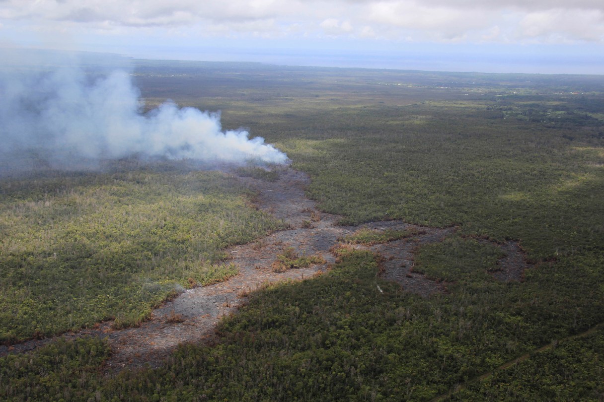
HONOLULU (AP) – Lava concerns on Hawaii’s Big Island are shifting from it reaching a sparsely populated subdivision to it crossing over a heavily used highway.
Hawaii County workers on Thursday began preparing defunct roads to be used as alternate routes if lava from Kilauea volcano reaches Highway 130, which could happen within weeks. Meanwhile, the lava appears to be going around the Kaohe Homesteads subdivision.
“Presently the leading edge of the surface flow is located approximately 0.3 miles from the northwest or upper corner of the Wao Kele Forest Reserve and Kaohe Homesteads boundary,” Hawaii County Civil Defense said in an update Thursday.
It’s possible the lava will skirt the subdivision, but residents there should remain prepared, officials said.
“While there’s a great deal of anxiety out there (in the subdivision,) they have reason to be hopeful the lava could bypass them,” said Kevin Dayton, county spokesman. “That doesn’t mean they’re out of the woods.”