
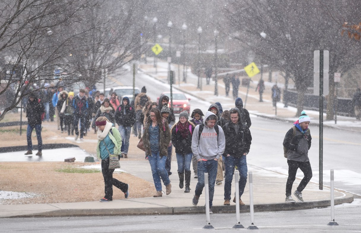
NASHVILLE, Tenn. – Tennessee is expected to get another wave of snow and ice on Friday.
Forecasters say most of the state will see snow before transitioning over to a mixture of freezing rain and sleet, then rain as temperatures start to warm up.
West Tennessee is expected to get about a quarter-inch of freezing rain on Friday, and Middle Tennessee could see up to two inches of snow. East Tennessee could get as much as four inches of snow in higher elevations.
However, pretty much all of that is expected to melt on Saturday, with highs in the upper-40s for most of the state. Parts of West Tennessee could see a high of 62.
The storm follows one that hit Monday leaving tens of thousands without power, and causing at least six deaths.