
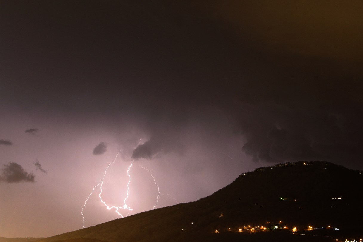
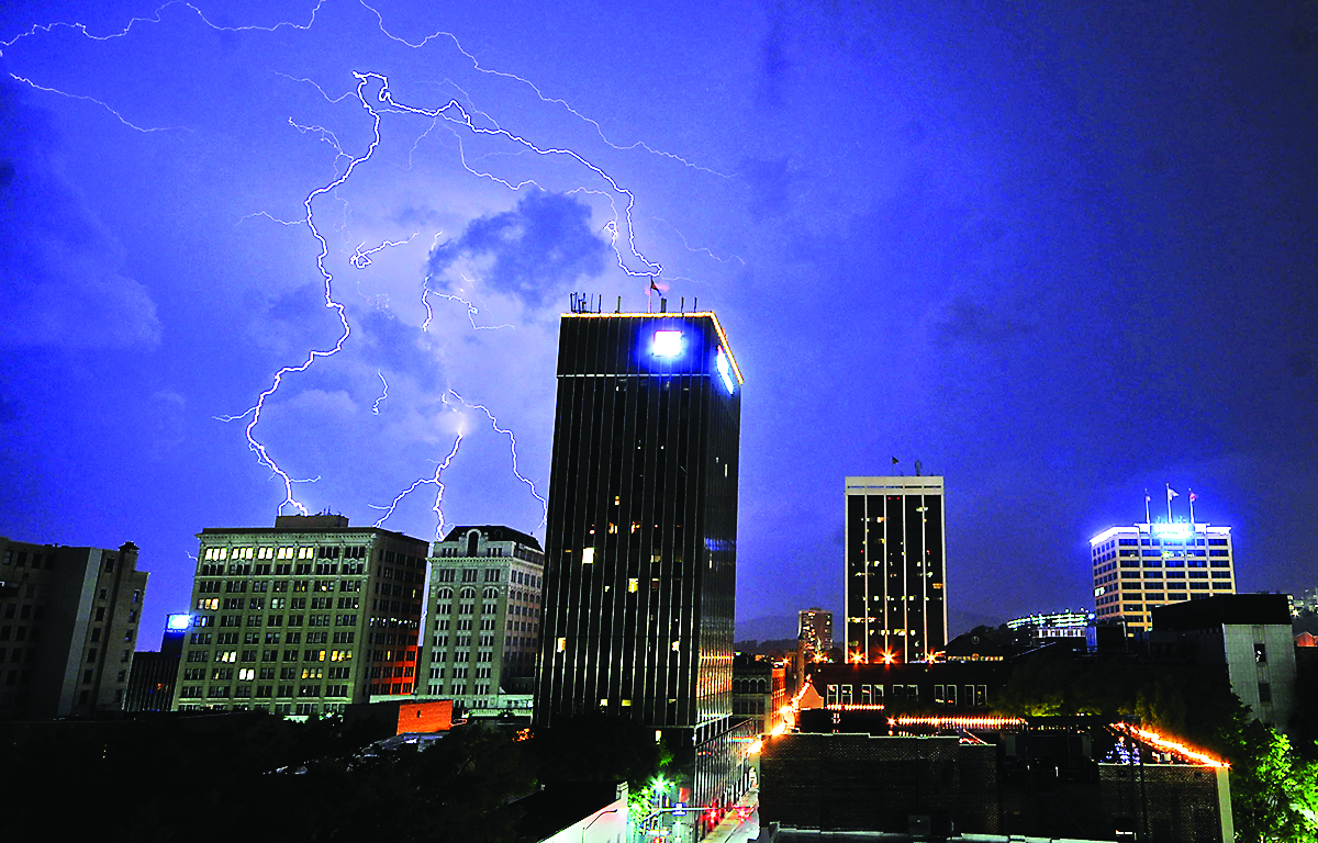
 Lightning, ahead of the main part of a storm, moves into Chattanooga in April 2014.
Chattanooga areas affected
* Chattanooga * Cleveland * Sequatchie * Bledsoe * Rhea * Meigs * McMinn * Marion * Hamilton * Bradley * Polk
A wave of severe thunderstorms are set to drop into the Cumberland Plateau and move southeast across the region, bringing with them the threat of damaging straight-line winds of up to 70 miles per hour, large hail and heavy rainfall, according to the National Weather Service.
The agency has issued a hazardous weather outlook for East Tennessee, as well as parts of North Carolina and Virginia, noting that an isolated tornado “cannot be ruled out.”
“Depending on how tonight’s activity evolves, a more significant episode of severe weather is possible on Tuesday,” the NWS said in a special weather statement released Monday.
Additional storms could develop on Tuesday and into Sunday, as strong to severe thunderstorms push ahead of a cold front stretching from southeast Kentucky and into Southeast Virginia.