
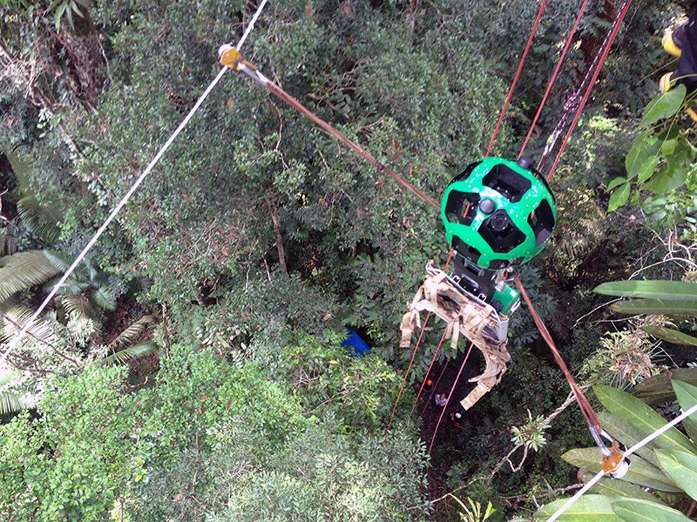
SAN FRANCISCO (AP) – For its next technological trick, Google will show you what it’s like to zip through trees in the Amazon jungle.
The images released Monday are the latest addition to the diverse collection of photos supplementing Google’s widely used digital maps. The maps’ “Street View” option mostly provides panoramic views of cities and neighborhoods photographed by car-mounted cameras, but Google also has found creative ways to depict exotic locations where there are no roads.
In its latest foray into the wilderness, Google teamed up with environmental protection group Amazonas Sustainable Foundation, or FAS, to explore a remote part of an Amazon rainforest. Google Inc. lent FAS its Trekker device, a camera mounted on an apparatus originally designed to be carried like a backpack by hikers walking on trails.
FAS, though, sent the Trekker down a zip line. Google is renowned for going out on a technological limb, but even this project made the company nervous at first, said Karin Tuxen-Bettman, who oversees Google’s Street View partnerships.
The setup required FAS workers to tread through the rainforest to find a place where they could string the zip line so the Trekker wouldn’t bump into tree trunks and branches as it zoomed through the thick canopy. With the help of some monkeys who joined their scouting expedition, FAS workers found just enough room to erect a zip line for the Trekker’s trip.